最終更新:2026年8月1日(3D表示エリアツアー 都市別動画:ラスベガス:ライブラリー 追加)
おすすめ NEW
 |
 |
 |
最新の投稿
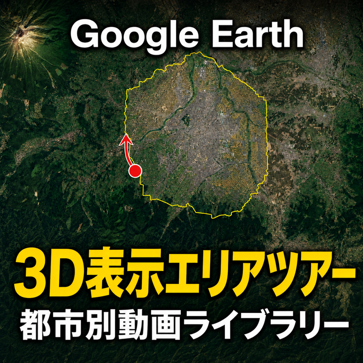
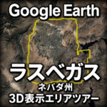
- Google Earthラスベガス3D表示エリアツアー|ネバダ州ラスベガスの3D範囲を動画で巡る
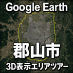
- Google Earth郡山市3D表示エリアツアー|福島県郡山市の3D範囲を動画で巡る
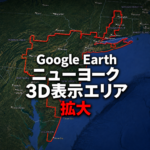
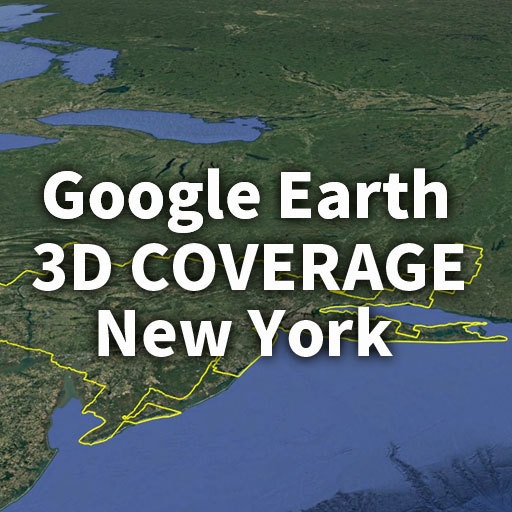
- Google Earthニューヨーク3D表示エリアが拡大|2026年ビフォーアフター比較
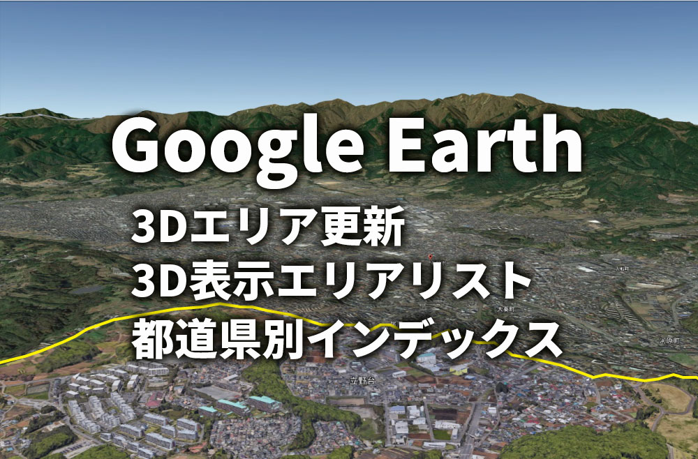
都道府県別 インデックス
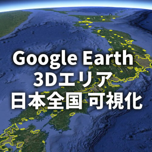
全国
 |
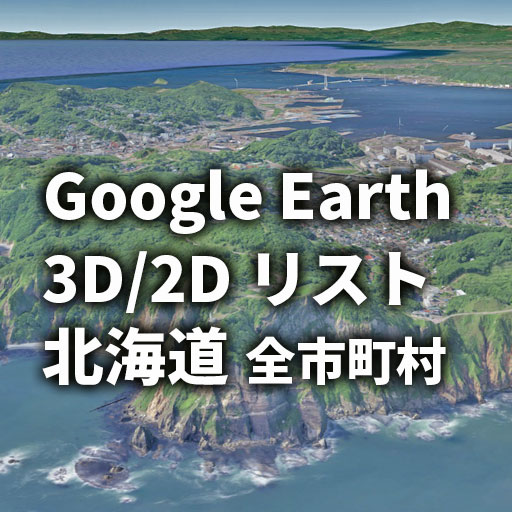
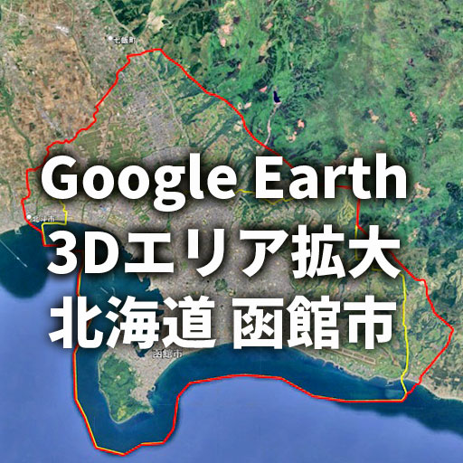
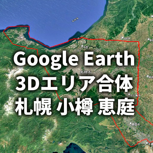
北海道
 |
 |
 |
 |
 |
 |
|
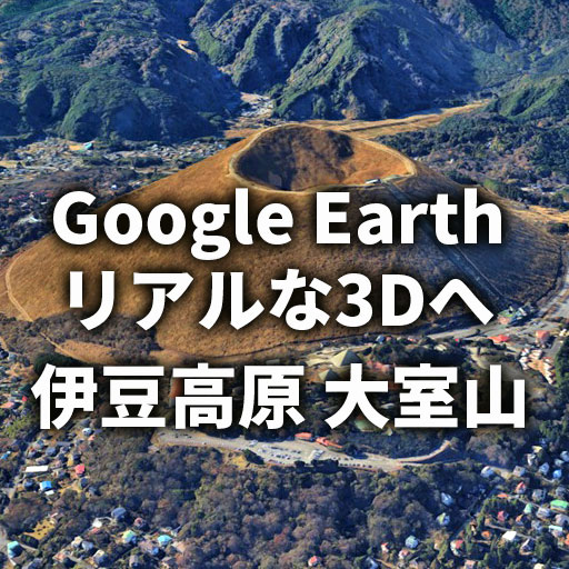
東北https://ejy-tours.com/obihiro-ga/
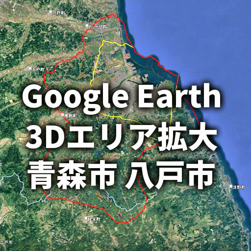
青森県
 |
 |
 |
秋田県
 |
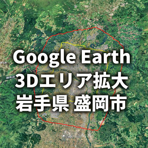
岩手県
 |
 |
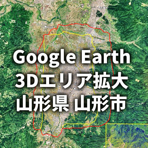
山形県
 |
 |
 |
 |
宮城県
 |
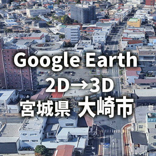 |
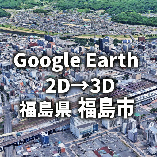
福島県
 |
 |
 |
 |
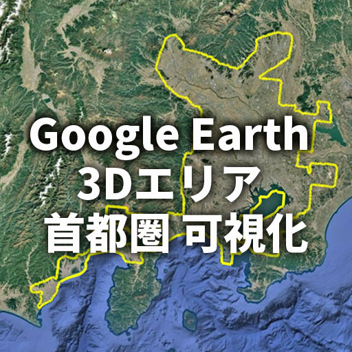
首都圏
 |
 |
|
関東
 |
 |
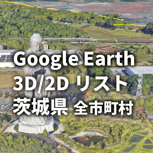
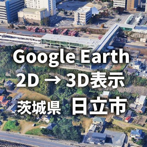
茨城県
 |
 |
栃木県
 |
群馬県
 |
埼玉県
 |
千葉県
 |
神奈川県
 |
 |
 |
 |
甲信越
 |
新潟県
 |
 |
山梨県
 |
長野県
 |
 |
北陸
福井県
 |
 |
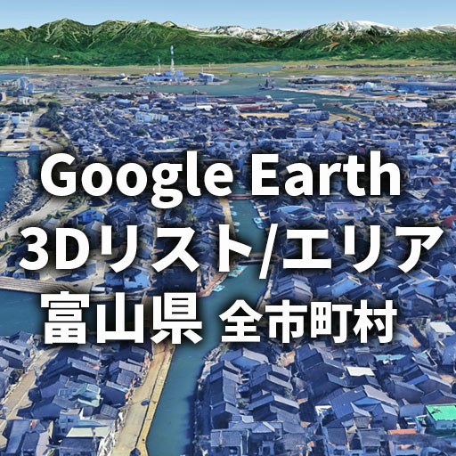
富山県
 |
 |
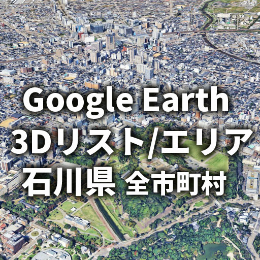
石川県
 |
東海
 |
 |
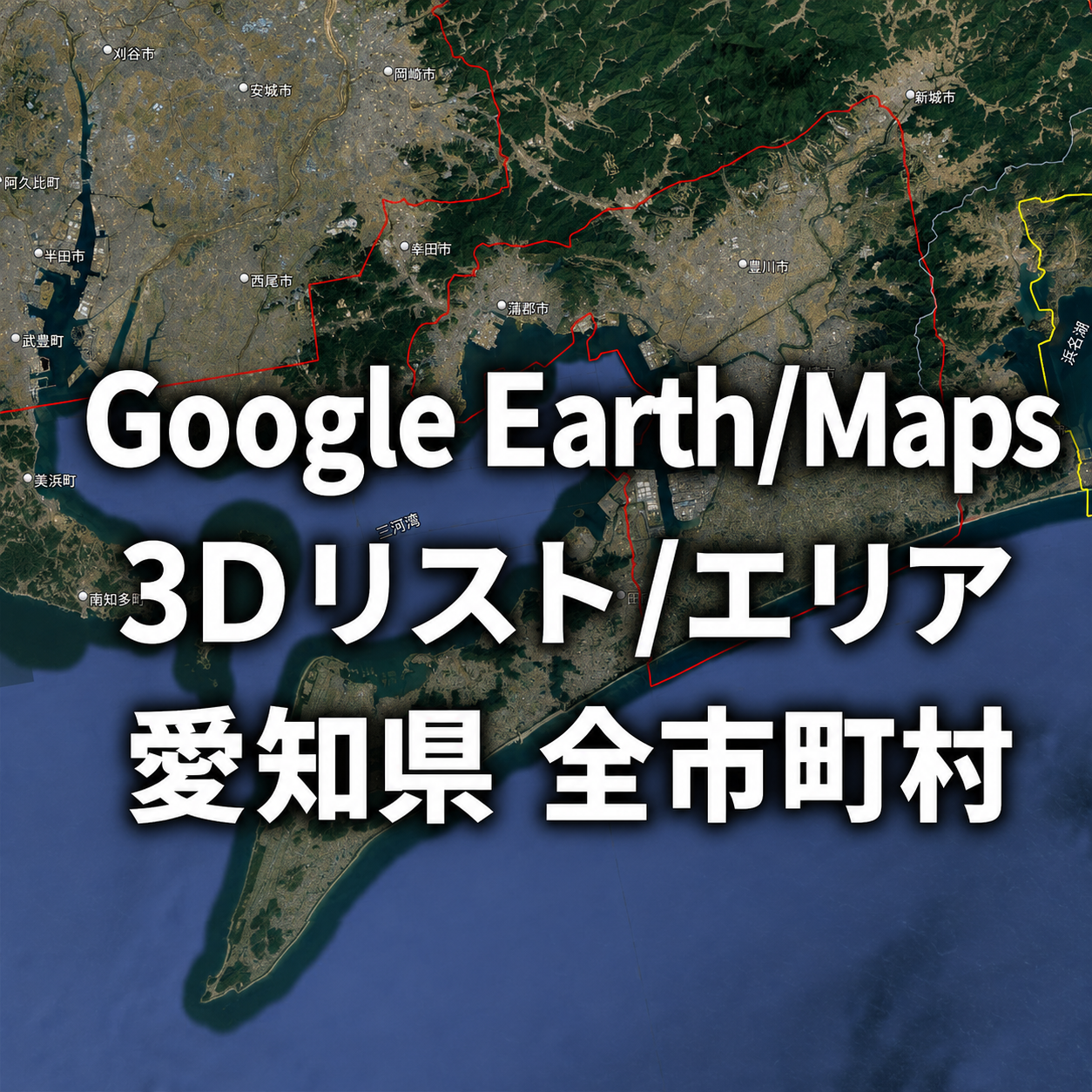
愛知県 New
 |
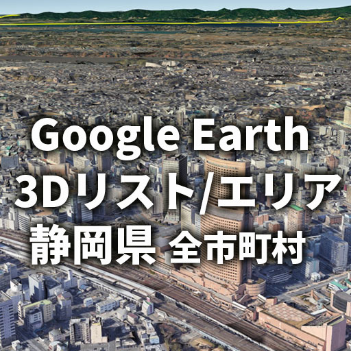
静岡県
 |
 |
 |
 |
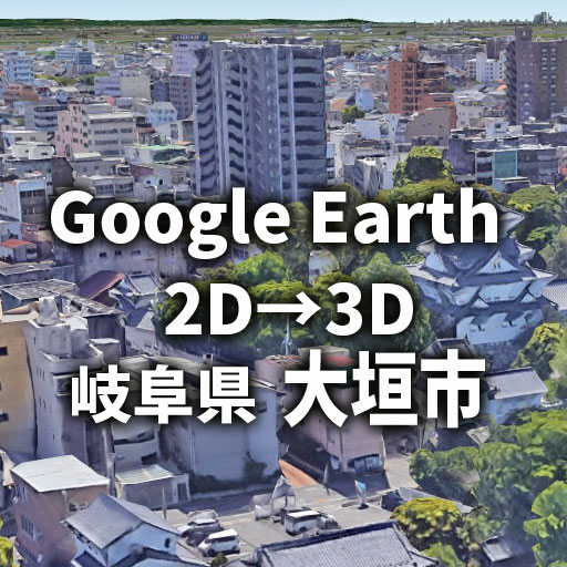
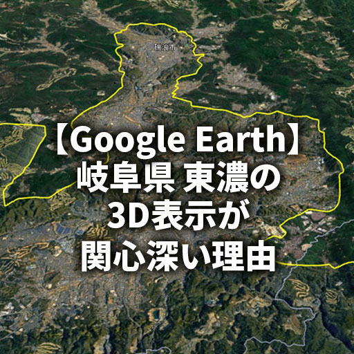
岐阜県
 |
 |
 |
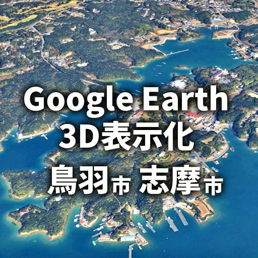
三重県
 |
近畿
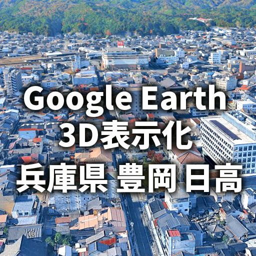
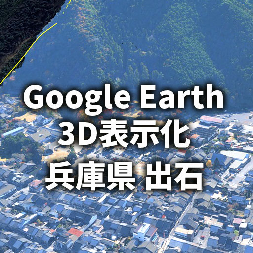
兵庫県
 |
 |
中国
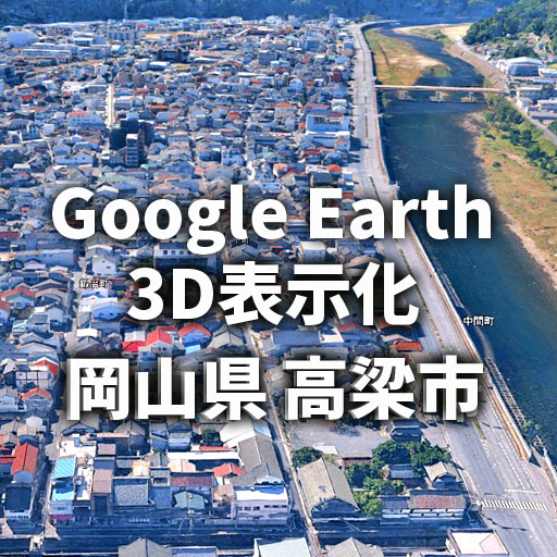
岡山県
 |
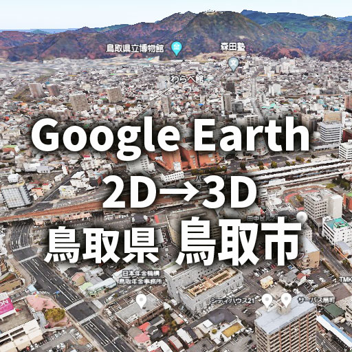
鳥取県
 |
 |
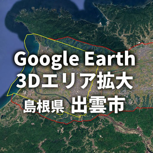
島根県
 |
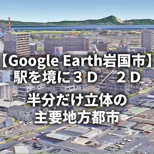
山口県
 |
 |
 |
四国
徳島県
 |
愛媛県
 |
高知県
 |
九州
福岡県
 |
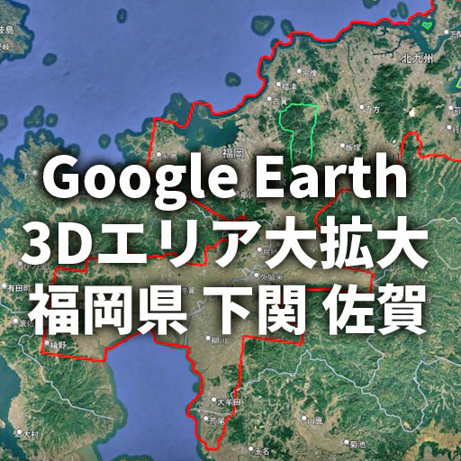 |
佐賀県
 |
長崎県
 |
 |
 |
熊本県
 |
大分県
 |
 |
宮崎県
 |
 |
 |
鹿児島県
 |
 |
沖縄県
 |
 |
海外
台湾
 |
アメリカ合衆国 New
 |
 |
 |
 |
ランドマーク
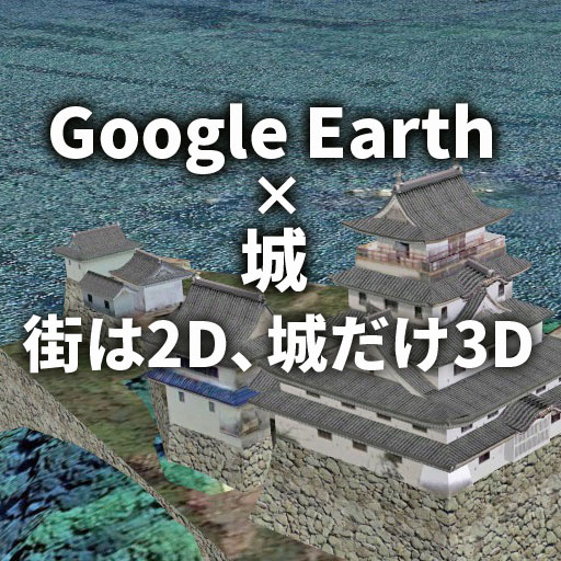
城
 |
|