KML

Google Earth 3Dエリア

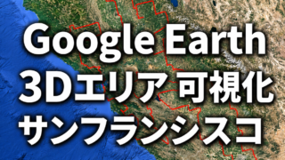
Google Earthサンフランシスコ3Dエリアの全域を可視化|面積・拡大の変遷をNY・LAと比較

Google Earthのサンフランシスコ3D表示範囲を独自調査。2017年頃と2026年3月の変化、境界線約3,858km・面積約65,590km²の規模を可視化し、ニューヨーク・ロサンゼルスとも比較します。
Google Earth(JP)

Google Earth Web版のパス(ポリゴン)機能を検証!Google Earth Proとの違いを比較

Google Earth Web版のパス(ポリゴン)機能を実際に検証。距離・面積の計測、KMZファイルのインポート、頂点編集、色変更などをGoogle Earth Proと比較し、3D表示エリアを調査している視点から違いを詳しく紹介します。
Google Earth(JP)

Google Earth Proに表示された「ウェブ版をおすすめします」とは?を自分なりに整理しました【2026年版】

Google Earth Proに表示された「2027年新規ダウンロード提供終了」のお知らせをきっかけに、Google Earth Web版を初めて検証。Google Earth Proとの違いや、KMZ・パス機能の使い勝手、実際に触って分かったことを体験を交えて紹介します。
Google Earth 3Dエリア

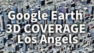
ロサンゼルス(LA)3D表示エリア完全可視化|Google Earth 3D Coverage Map Los Angeles(LA)

Google Earthのロサンゼルス3D表示エリアを徹底解説。どこまで広がるのかを可視化し、都市・自然地形を含む広域カバレッジを紹介。KMZデータのダウンロードにも対応。Explore the full extent of Los Angeles 3D coverage in Google Earth. This guide visualizes the massive area beyond the metro region and provides downloadable KMZ data.
Google Earth 3Dエリア

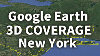
ニューヨーク3D表示エリア完全可視化|Google Earth 3D Coverage Map New York (NY・NYC)

Googleアースの3D表示はどこまで拡大したのか。ニューヨーク (NY・NYC)の最新3Dエリアを実測・可視化し、2017年と徹底比較。KMLファイルも無料公開。Discover how far Google Earth’s 3D coverage has expanded around New York (NY・NYC), with detailed analysis, past vs present comparison, and free KML download.
タイトルとURLをコピーしました