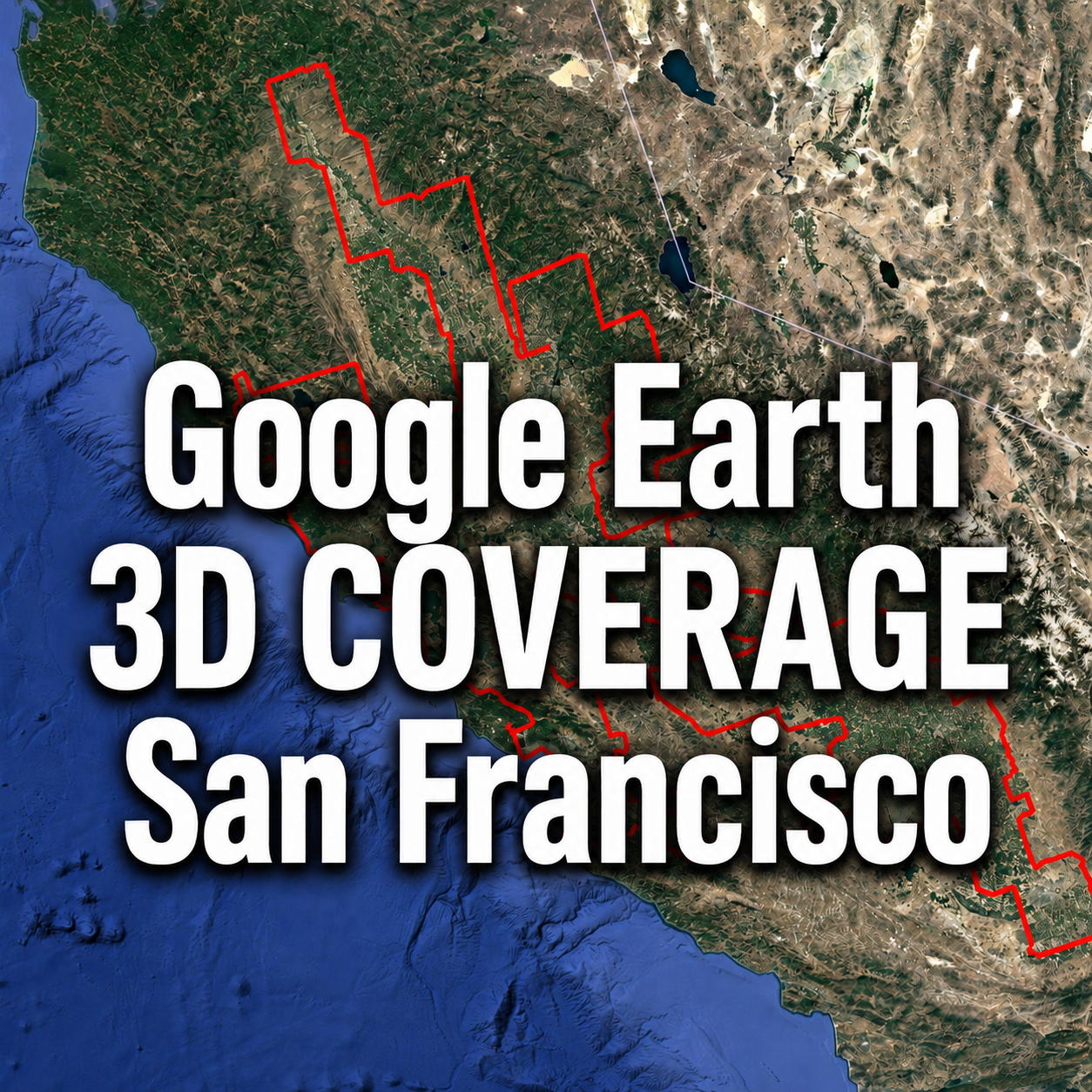
How far does Google Earth’s 3D coverage extend around San Francisco?
At first, it may look like a 3D map of the San Francisco Bay Area. However, the actual coverage reaches much farther across California.
Our March 2026 survey found one continuous 3D region extending from the Redding area in the north to the Bakersfield area in the south. It includes major cities, farmland, mountains and large parts of California’s Central Valley.
Using Google Earth Pro, we manually traced the boundary between photorealistic 3D imagery and standard 2D imagery. We then measured the boundary length and enclosed area from the KMZ coordinate data.
We also compared our 2026 boundary with historical 3D coverage data published by Google Earth Blog through 2017.
Important: In this article, “San Francisco 3D coverage area” refers to the large continuous region covering northern and central California, including San Francisco. It is separate from the Los Angeles 3D coverage area in Southern California.
In this article
- Where the San Francisco 3D coverage area extends
- Major cities included in the coverage
- How the area changed between 2017 and 2026
- The total boundary length and estimated area
- A size comparison with New York and Los Angeles
Where Is Google Earth 3D Available Around San Francisco?
The 3D coverage examined in this article is located entirely within California.
San Francisco and the Bay Area form an important part of it, but the coverage stretches hundreds of miles north, east and south.
| Part of the coverage | Major cities and areas |
|---|---|
| Northern area | Redding and Chico |
| California state capital area | Sacramento |
| San Francisco Bay Area | San Francisco, Oakland, San Jose and Santa Rosa |
| Northern Central Valley | Stockton and Modesto |
| Central and southern Central Valley | Merced, Fresno and Visalia |
| Southern end | Bakersfield area |
Google Earth’s photorealistic 3D imagery is available across many urban areas within this region. It also covers large sections of farmland, foothills and mountain landscapes between the cities.
This is why the current coverage can no longer be described as a collection of separate 3D cities. It has grown into one large regional coverage area across northern and central California.

How San Francisco’s Google Earth 3D Coverage Expanded
The current boundary shows the size of the 3D coverage today. The scale of the change becomes clearer when it is compared with older data.
Before: 3D Coverage Recorded Through 2017
The following map uses historical KML data published by Google Earth Blog, an independent website specializing in Google Earth.
Google Earth Blog began building its 3D coverage map in 2014. Its dataset combined information from Google, Wikipedia and reports submitted by Google Earth users.
Readers helped identify newly added 3D areas, while contributors traced the approximate boundaries. The areas were color-coded according to when they were first found and added to the map.
The dates in the legend are therefore discovery or recording dates. They do not necessarily show when the aerial imagery was captured.

At that time, 3D coverage around San Francisco, Sacramento and the Central Valley appeared as separate patches.
Some of these patches were already quite large, but they did not form the long continuous region that can be seen today.
After: 3D Coverage Surveyed in March 2026
In March 2026, Global Map Insights checked the current boundary in Google Earth Pro.
We followed the visible edge between photorealistic 3D imagery and surrounding 2D imagery and recorded it as a KMZ line.
The result shows continuous coverage from the Redding area in northern California to the Bakersfield area in the southern Central Valley.
The coverage now includes the areas between many cities that appeared separately in the older dataset.
Before and After Comparison
The map below places our March 2026 boundary over the historical Google Earth Blog data.

Many of the older 3D zones now sit inside the much larger red boundary.
The comparison suggests that Google gradually expanded coverage into the spaces between previously separate cities and regions.
Some of the clearest changes can be seen between Redding and Sacramento, around the San Francisco Bay Area, and along the Central Valley toward Bakersfield.
In 2017, the map mostly showed separate urban coverage areas. By March 2026, much of northern and central California could be explored as one continuous 3D region.
What We Learned While Tracing the Boundary
Before beginning this survey, we expected to find several large 3D areas centered on San Francisco, Sacramento, Fresno and other cities.
Following the boundary in Google Earth Pro showed a different picture. The coverage around these cities is now connected across a much wider region.
The boundary also has many narrow sections, bends and extensions. These do not follow city, county or state administrative lines.
Google Earth’s 3D coverage is shaped by aerial survey areas and imagery processing rather than local government boundaries. This creates an irregular outline that is difficult to understand without tracing it on a map.
The comparison also provides a useful record of how Google Earth changed between the historical dataset and our March 2026 survey.
San Francisco 3D Coverage Area and Boundary Length
After completing the boundary, we measured both its total length and the area enclosed by it.
| Measurement | Result |
|---|---|
| Total boundary length | Approximately 3,858 km |
| Total boundary length in miles | Approximately 2,397 miles |
| Enclosed area | Approximately 65,590 km² |
| Enclosed area in square miles | Approximately 25,325 sq mi |
| Survey date | March 2026 |
The estimated area of 65,590 km² confirms that this is far larger than a city-level 3D map.
The boundary length is also very long because it follows the small bends and extensions along the edge of the 3D imagery. It should not be confused with the straight-line distance from Redding to Bakersfield.
The measurements were calculated from the coordinates stored in our independently created KMZ boundary data. The calculations take the Earth’s curved surface into account. These figures have not been published or verified by Google.
San Francisco vs. New York vs. Los Angeles
To compare the three regions fairly, we measured our San Francisco, New York and Los Angeles KMZ boundaries using the same calculation method.
The comparison covers the largest continuous 3D region in each location. Five smaller independent 3D zones around Los Angeles are not included in the Los Angeles figures below.
| Google Earth 3D region | Boundary length | Area | Area in square miles |
|---|---|---|---|
| San Francisco | Approx. 3,858 km 2,397 miles |
Approx. 65,590 km² | Approx. 25,325 sq mi |
| New York | Approx. 2,513 km 1,562 miles |
Approx. 55,922 km² | Approx. 21,592 sq mi |
| Los Angeles | Approx. 1,638 km 1,018 miles |
Approx. 28,217 km² | Approx. 10,895 sq mi |
Among the three regions, San Francisco has the largest continuous 3D coverage area.
- San Francisco is about 1.17 times the size of New York.
- San Francisco is about 2.32 times the size of Los Angeles.
- New York is about 1.98 times the size of Los Angeles.
San Francisco also has the longest boundary. Its outline is approximately 1.53 times longer than New York’s and 2.36 times longer than Los Angeles’.
A long boundary does not always mean a larger area. An irregular shape naturally produces a longer perimeter. For this reason, both area and boundary length should be considered when comparing Google Earth 3D coverage.
Research Conducted by a Google Earth Website in Japan
This survey was conducted by Global Map Insights, an independent website based in Japan.
We regularly study Google Earth’s 3D and 2D coverage in Japan and other parts of the world. The boundary shown in this article was manually traced by checking the imagery in Google Earth Pro rather than copying an official Google coverage map.
Google does not currently provide this exact San Francisco boundary, perimeter or area calculation as an official public dataset.
We are publishing the results from Japan so that Google Earth and Google Maps users around the world can better understand where photorealistic 3D imagery is available and how its coverage has changed.
Conclusion
As of March 2026, the San Francisco Google Earth 3D coverage area extends from the Redding area to the Bakersfield area.
Its boundary measures approximately 3,858 km, or 2,397 miles. The enclosed area is approximately 65,590 km², or 25,325 square miles.
Our comparison with historical data shows that many separate 3D zones recorded through 2017 have since grown into one broad regional coverage area.
San Francisco’s continuous 3D region is also larger than the New York and Los Angeles regions measured in our surveys.
Google Earth imagery can change without a public announcement. We will continue to check this boundary and record future updates.
Download the San Francisco 3D Coverage KMZ Files for Free
The KMZ boundary files created for this survey are available as free downloads.
Load the files into Google Earth Pro to explore the 3D coverage boundaries shown in this article. You can zoom in, follow the lines and compare the coverage with cities, mountains and other geographic features across California.
Two separate downloads are available: the main San Francisco 3D coverage boundary and a second KMZ containing nearby national park 3D coverage lines.
San Francisco 3D Coverage Boundary
This KMZ shows the large continuous 3D coverage area extending from near Redding in the north to the Bakersfield area in the south.
Pinnacles Nearby National Parks 3D Coverage Lines
This separate KMZ contains 3D coverage boundaries for national park areas located near the main San Francisco coverage region.
How to Open the KMZ Files
- Open the Google Drive link using one of the buttons above.
- Select the download option.
- Open the downloaded KMZ file in Google Earth Pro.
- Use the Places panel to turn individual boundary lines on or off.
Google Drive may display the message “No preview available.” This is normal for KMZ files. Download the file and open it with Google Earth Pro.
These KMZ boundaries were independently traced by Global Map Insights, a website based in Japan, using Google Earth Pro in March 2026. They are not official Google 3D coverage data.
The files are available free of charge. If you would like to share this dataset, please link to this article instead of redistributing the KMZ files directly.
Sources and Methodology
Google Earth Blog: Google Earth Automatically Generated 3D Areas
Google Earth Blog: New Google Earth Layers – 3D Cities
Google Earth Blog: 3D Mesh Locations KML
Google Earth
The current boundary, perimeter and area measurements were independently researched by Global Map Insights using Google Earth Pro in March 2026. Historical boundaries are based on data published by Google Earth Blog.

コメント