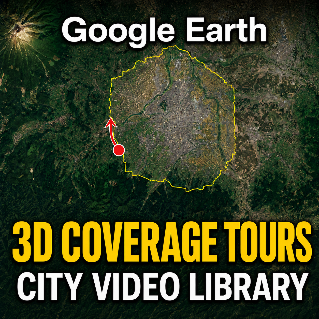
Would you like to take a flight around the boundary of a Google Earth 3D coverage area?
On the Global Map Insights YouTube channel, we publish “3D Coverage Tours” that follow the boundary between Google Earth’s photorealistic 3D coverage and standard 2D imagery.
These are not conventional sightseeing videos.
Rather than touring the city itself, each video traces the area of the city displayed in photorealistic 3D on Google Earth.
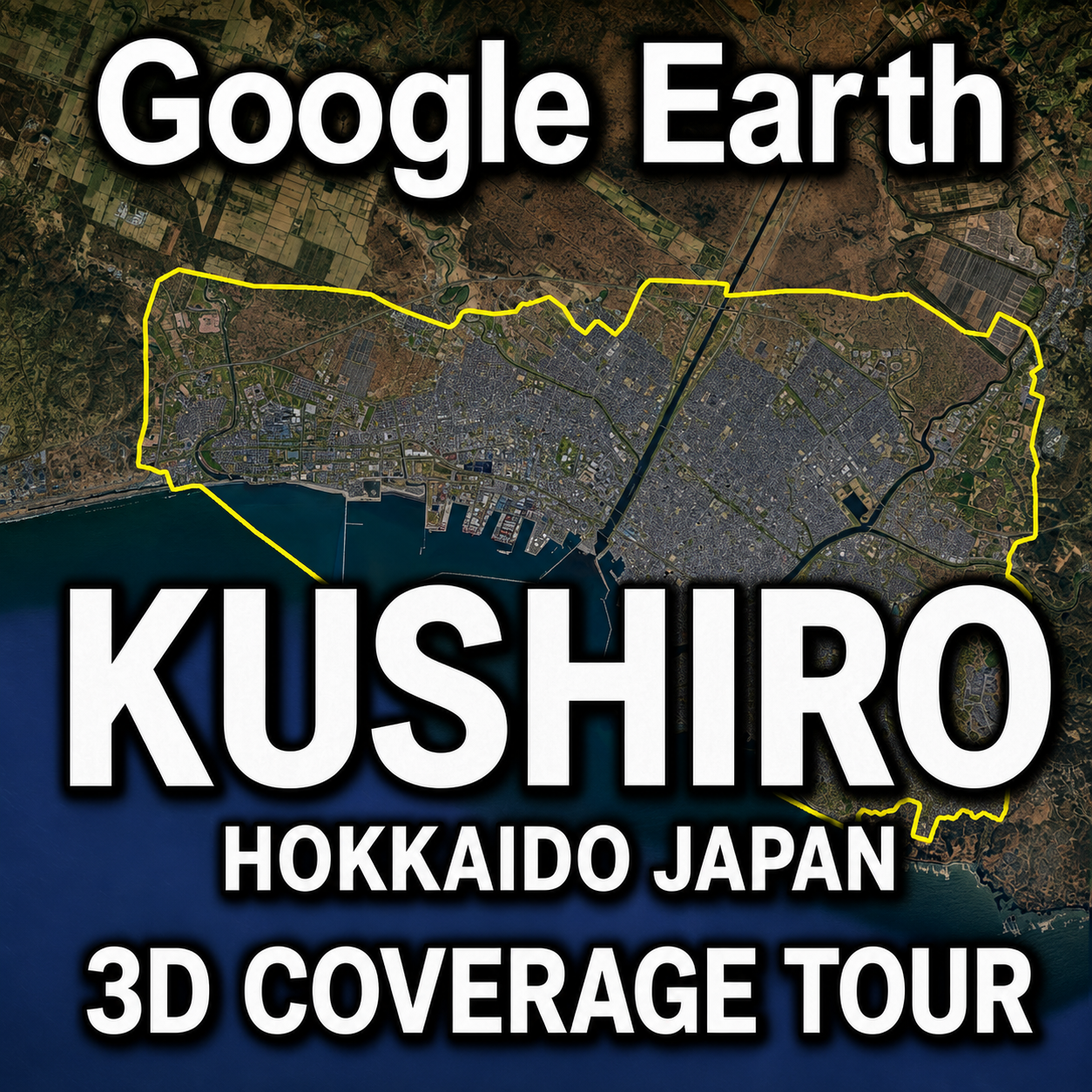
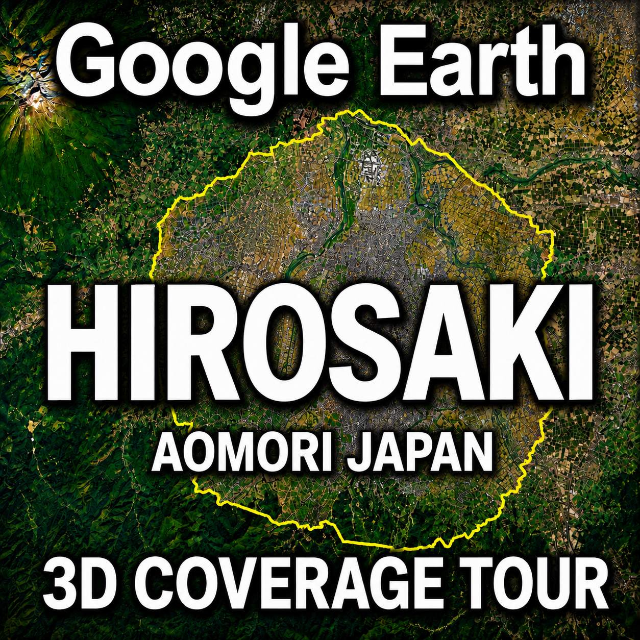
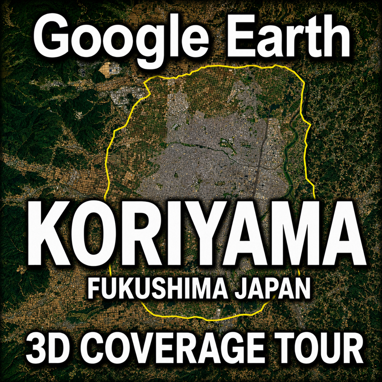
The yellow line shown in each video represents the boundary of the Google Earth 3D coverage area.
- Yellow line: Boundary of the photorealistic 3D coverage area
- Right side of the flight path: Photorealistic 3D coverage
- Left side of the flight path: Standard 2D imagery
- Direction of travel: Clockwise along the yellow boundary line
On YouTube, you can watch the complete flight around each boundary. On this website, we also provide an overview map, the approximate boundary distance, and information about the characteristics of each city’s 3D coverage.
Choose a city from the video library below and explore the extent of its Google Earth 3D coverage.
Watch Global Map Insights on YouTube
United States
Google Earth 3D Coverage Tours of cities in the United States will be added here.
Japan
Hokkaido
 |
Tohoku Region
Aomori Prefecture
 |
Fukushima Prefecture
 |