 City Guides
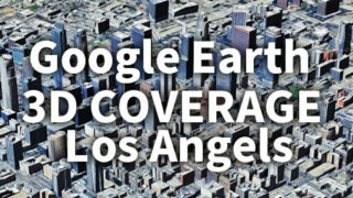
 Los Angeles 3D Coverage Map Fully Revealed | Google Earth 3D Buildings & Hidden Zones in LA
Los Angeles 3D coverage map visualizes where Google Earth’s 3D building and terrain data is available across LA. Explore detailed photorealistic urban zones, partial coverage areas, and non-3D regions in Google Earth’s evolving 3D map system.