九州地方 熊本県内全自治体の Google Earth 3D/2Dリストです。
各自治体の人口はWikipediaを参照しています。
リンクは各自治体の Google Earth Web版に飛びます。
今記事編集中に 八代市が2D ⇒ 3D にバージョンUPしていました!
※本記事は、Google Earth で実際に確認した表示状況を整理した独自情報です。
Google Earth 熊本県(県北)の3D/2Dリスト
玉名地域:2市1郡4町
| 荒尾市 | 3D | 48,449人 |
| 玉名市 | 2D | 61,793人 |
| 玉名郡 | ||
| 玉東町 | 2D | 4,960人 |
| 南関町 | 2D | 8,251人 |
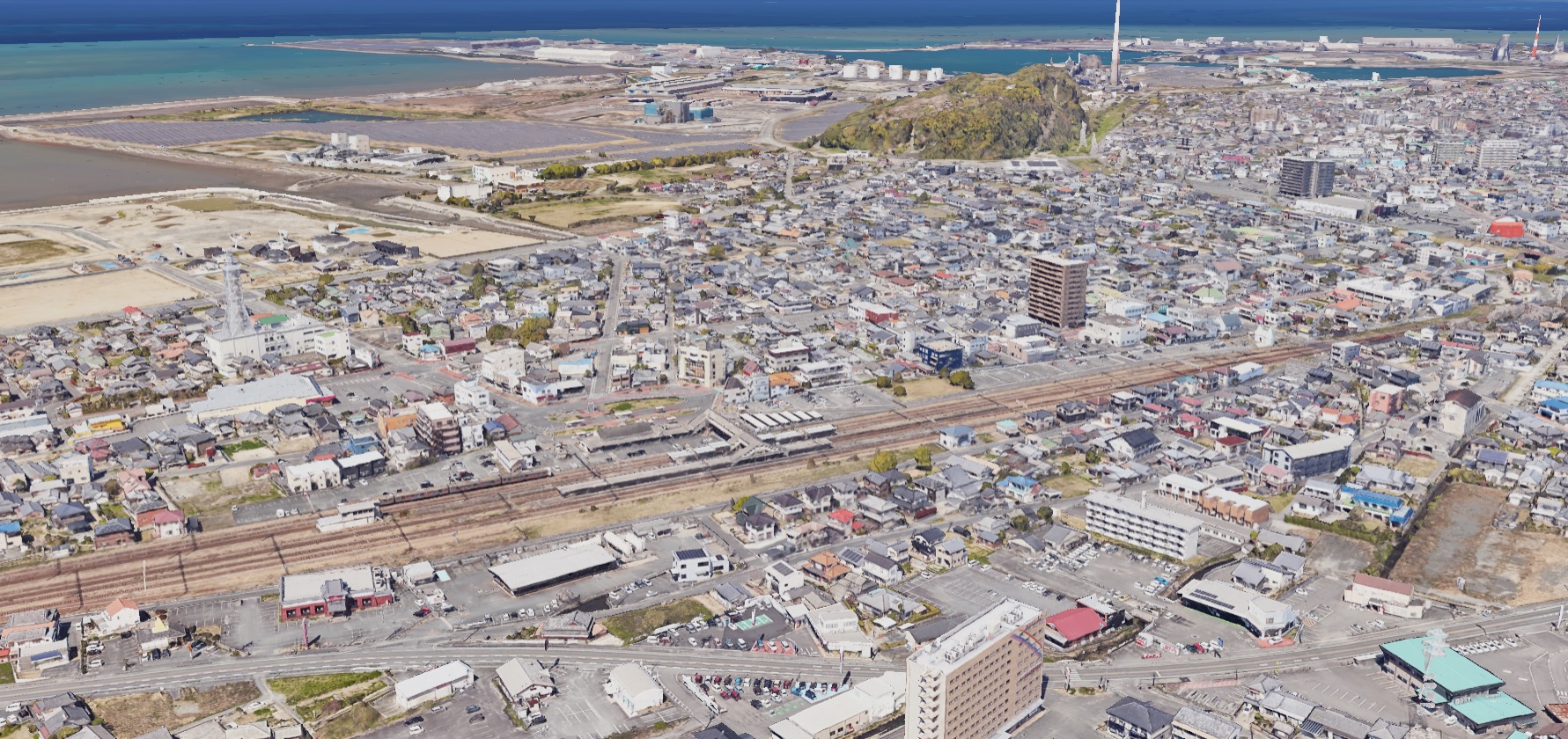
| 長洲町 | 3D+2D | 14,760人 |
| 和水町 | 2D | 8,670人 |
Google Earth 熊本県 荒尾市
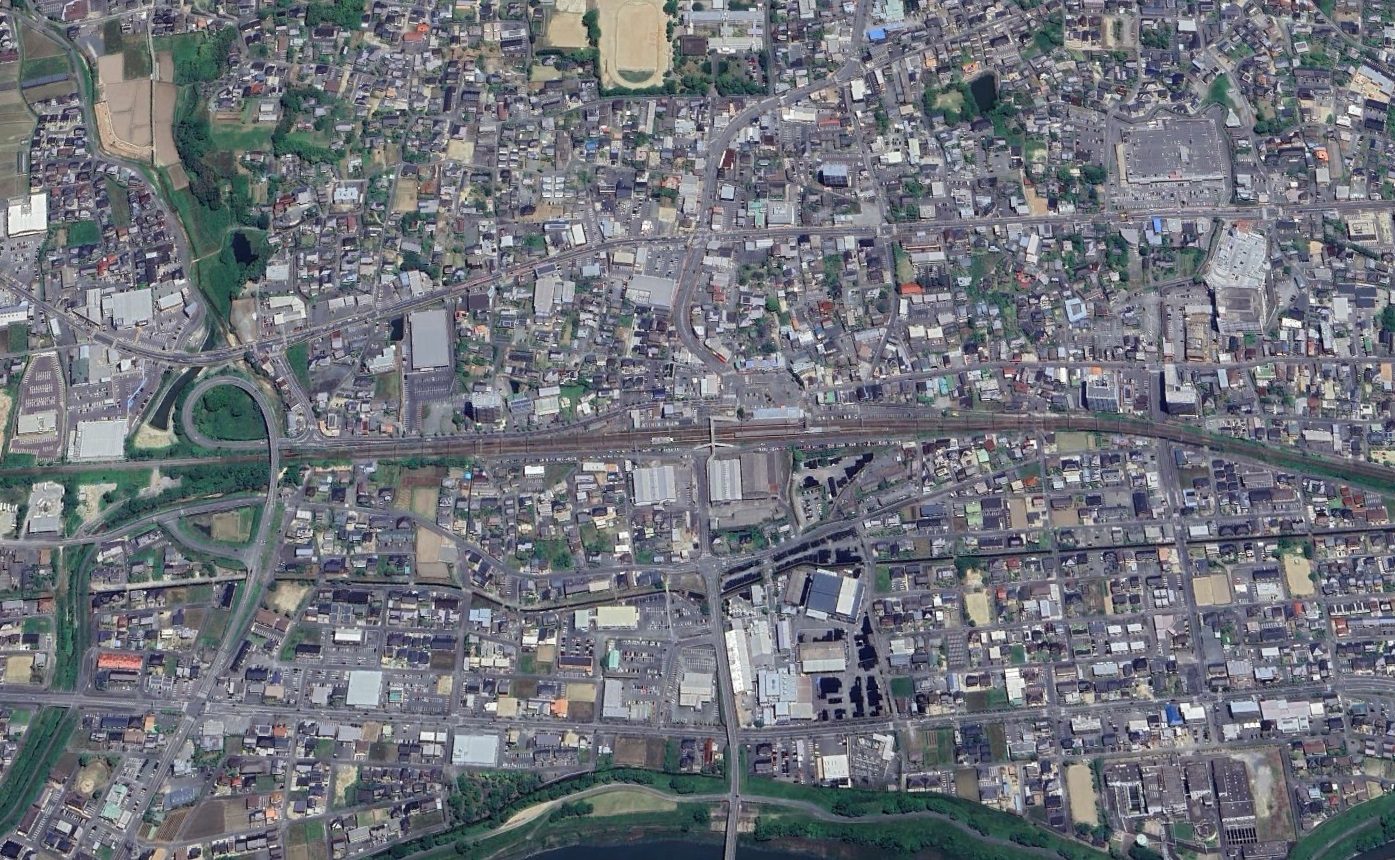
Google Earth 熊本県 玉名市(2D)
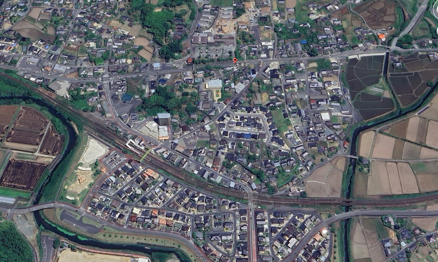
Google Earth 熊本県 玉名郡 玉東町(2D)
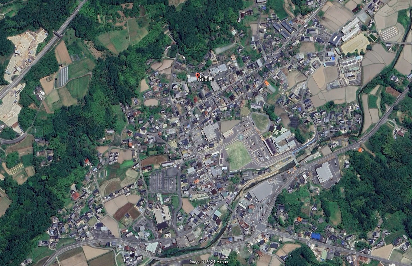
Google Earth 熊本県 玉名郡 南関町(2D)
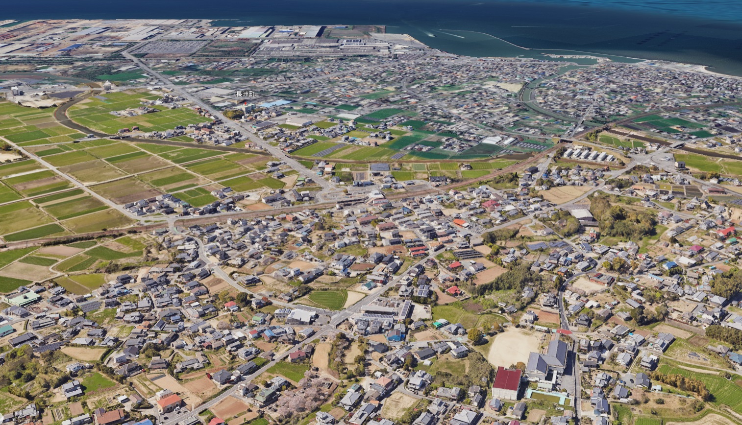
Google Earth 熊本県 玉名郡 長洲町(3D+2D)
長洲町は3D表示の荒尾市と隣接しているため長洲駅周辺まではは3D表示対応。町役場を含めた中心部付近は3D表示エリアを外れて2D表示です。
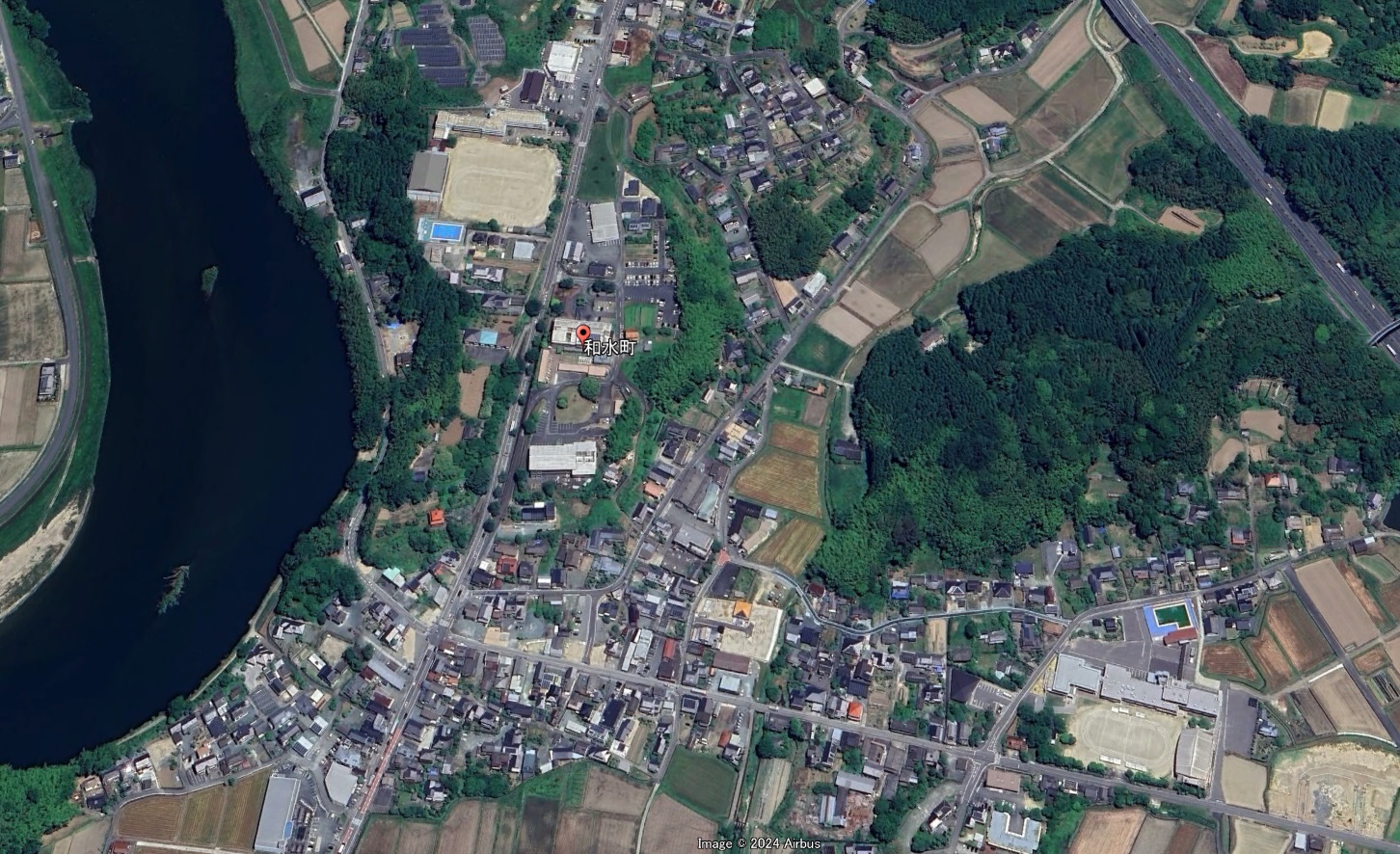
Google Earth 熊本県 玉名郡 和水町(2D)
鹿本地域:1市
| 山鹿市 | 2D | 46,398人 |
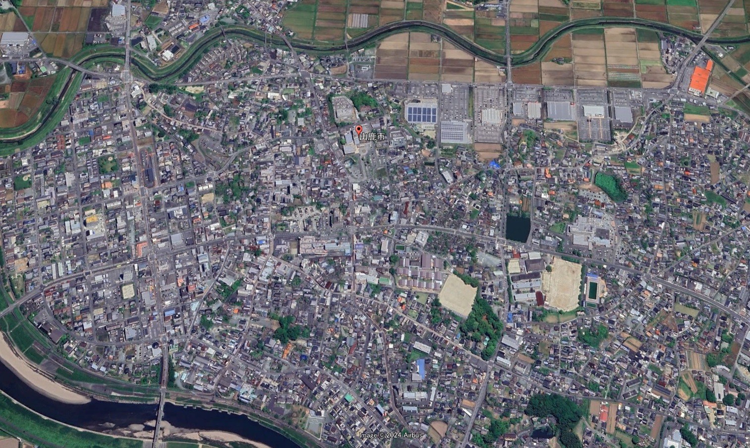
Google Earth 熊本県 山鹿市(2D)
菊池地域:2市1郡2町
| 菊池市 | 2D | 45,094人 |
| 合志市 | 3D | 63,701人 |
| 菊池郡 | ||
| 大津町 | 3D | 35,818人 |
| 菊陽町 | 3D | 44,445人 |
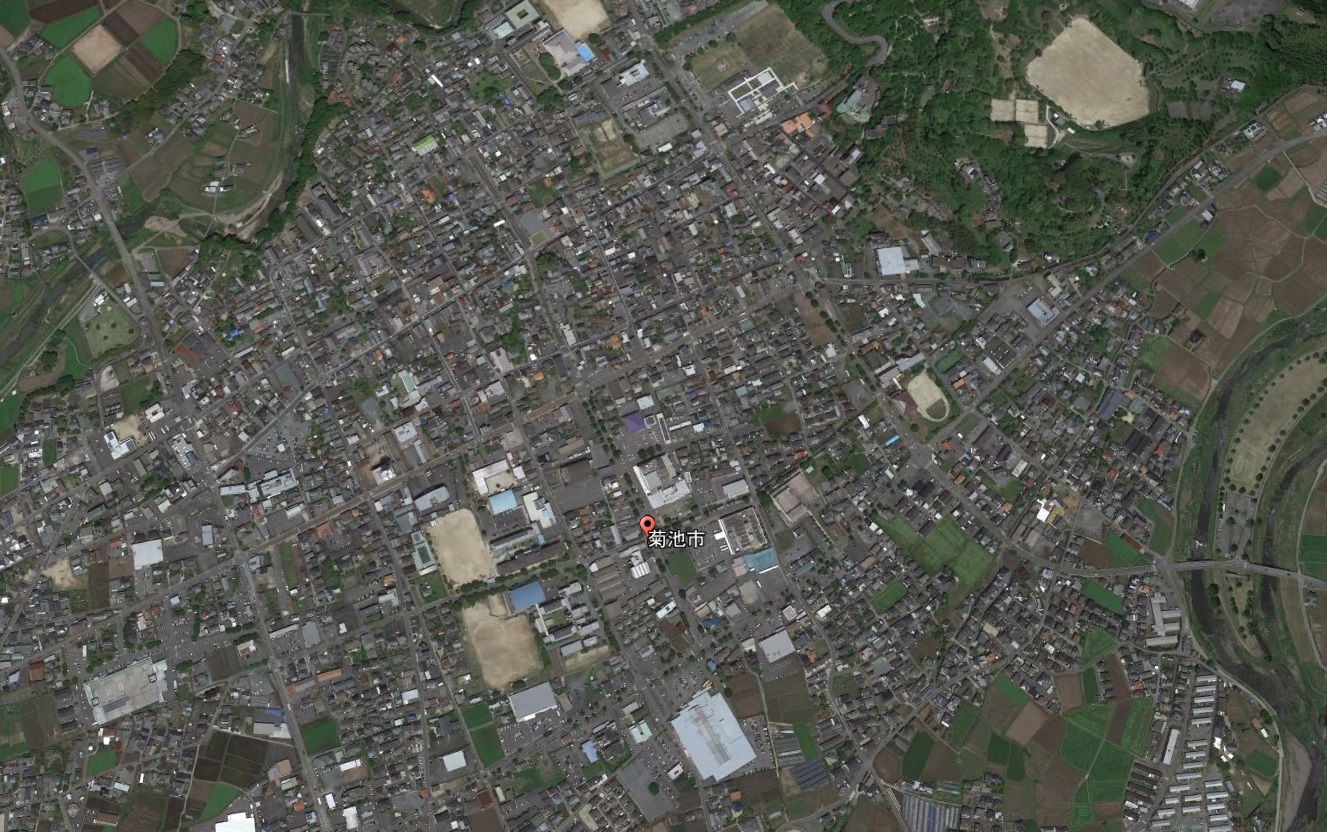
Google Earth 熊本県 菊池市(2D)
Google Earth 熊本県 合志市
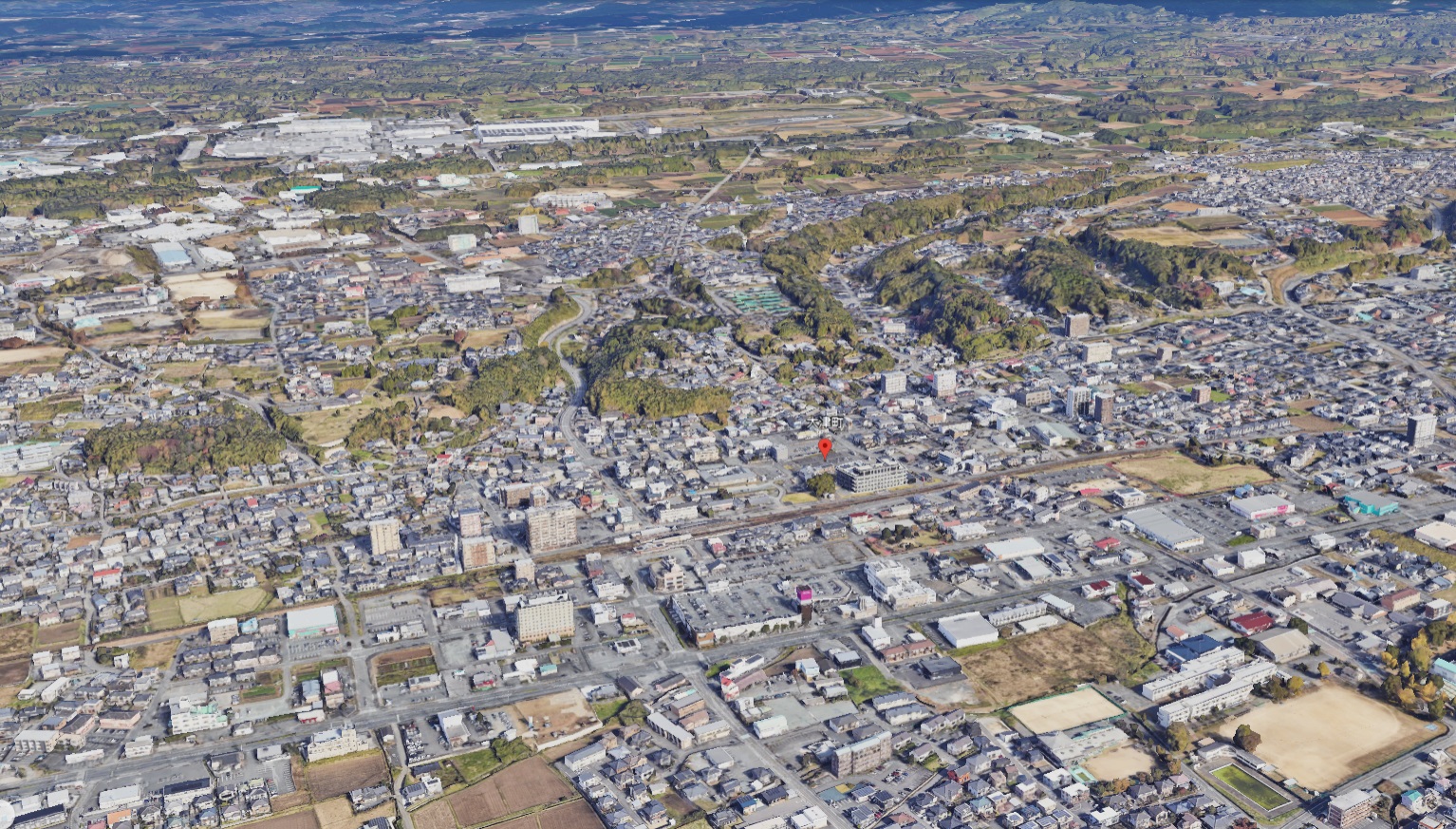
Google Earth 熊本県 菊池郡 大津町
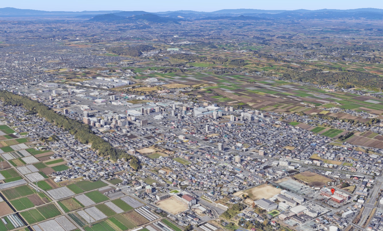
Google Earth 熊本県 菊池郡 菊陽町
阿蘇地域:1市1郡3町3村
| 阿蘇市 | 2D | 23,649人 |
| 阿蘇郡 | ||
| 南小国町 | 2D | 3,644人 |
| 小国町 | 2D | 6,086人 |
| 産山村 | 2D | 1,305人 |
| 高森町 | 2D | 5,442人 |
| 西原村 | 2D+3D | 6,690人 |
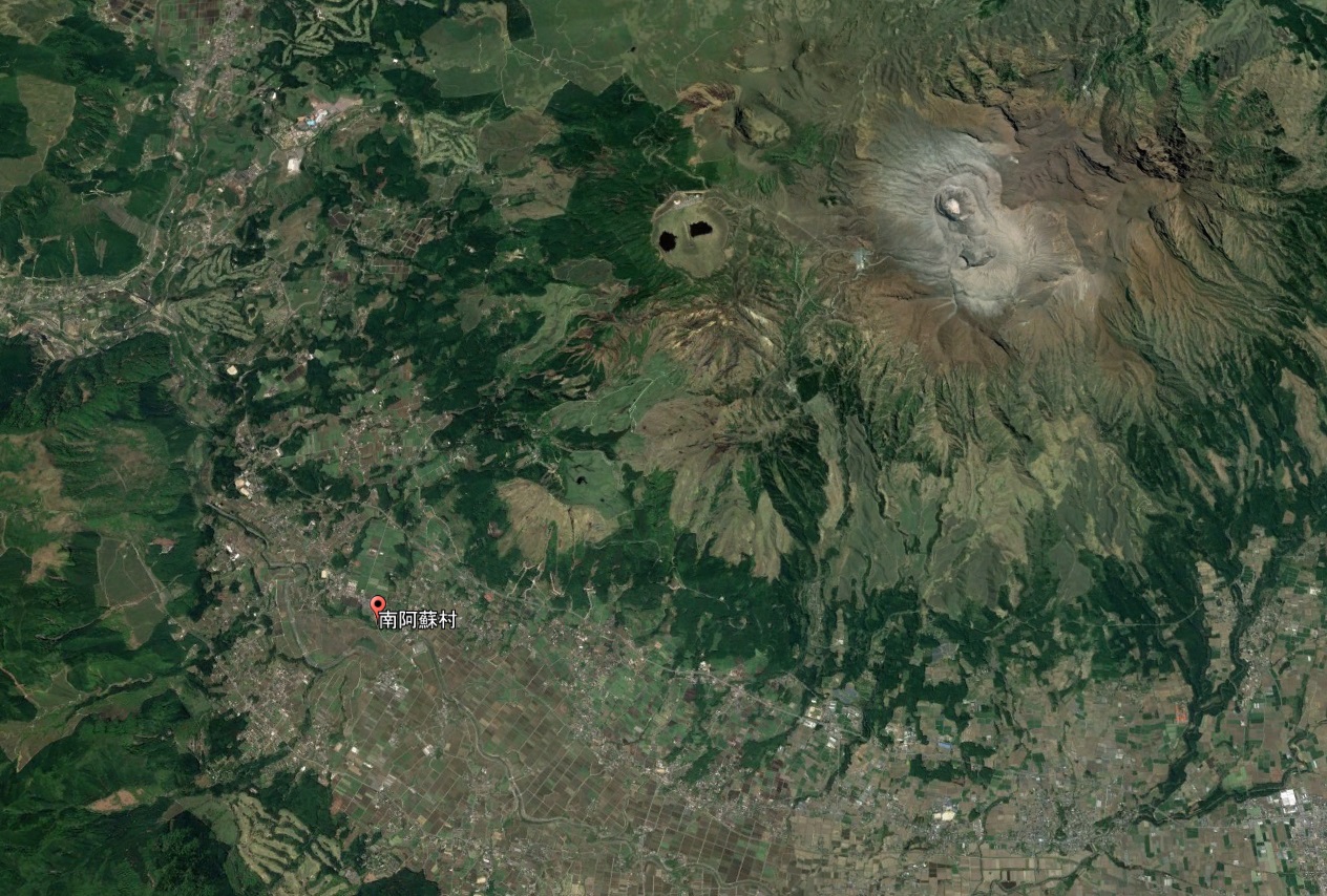
| 南阿蘇村 | 2D | 9,488人 |
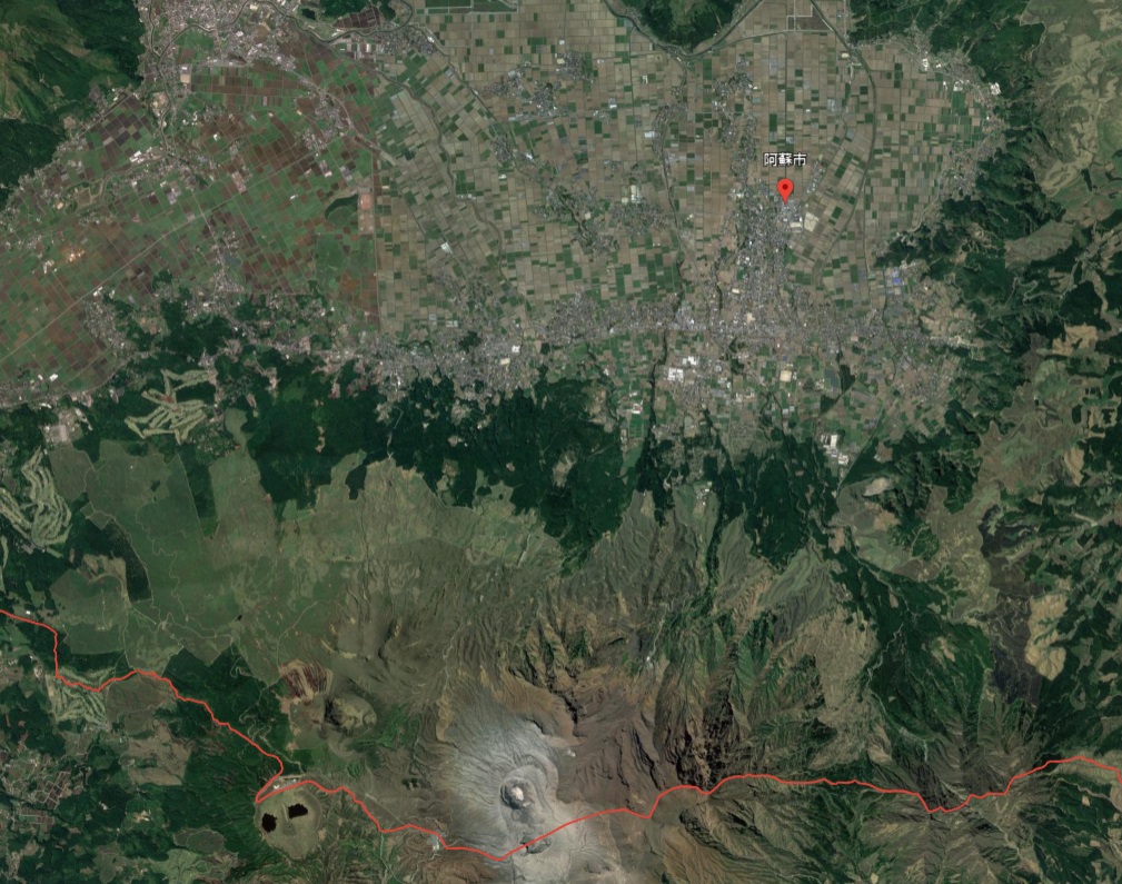
Google Earth 熊本県 阿蘇市(2D)
Google Earth 熊本県 阿蘇郡 南小国町(2D)
Google Earth 熊本県 阿蘇郡 小国町(2D)
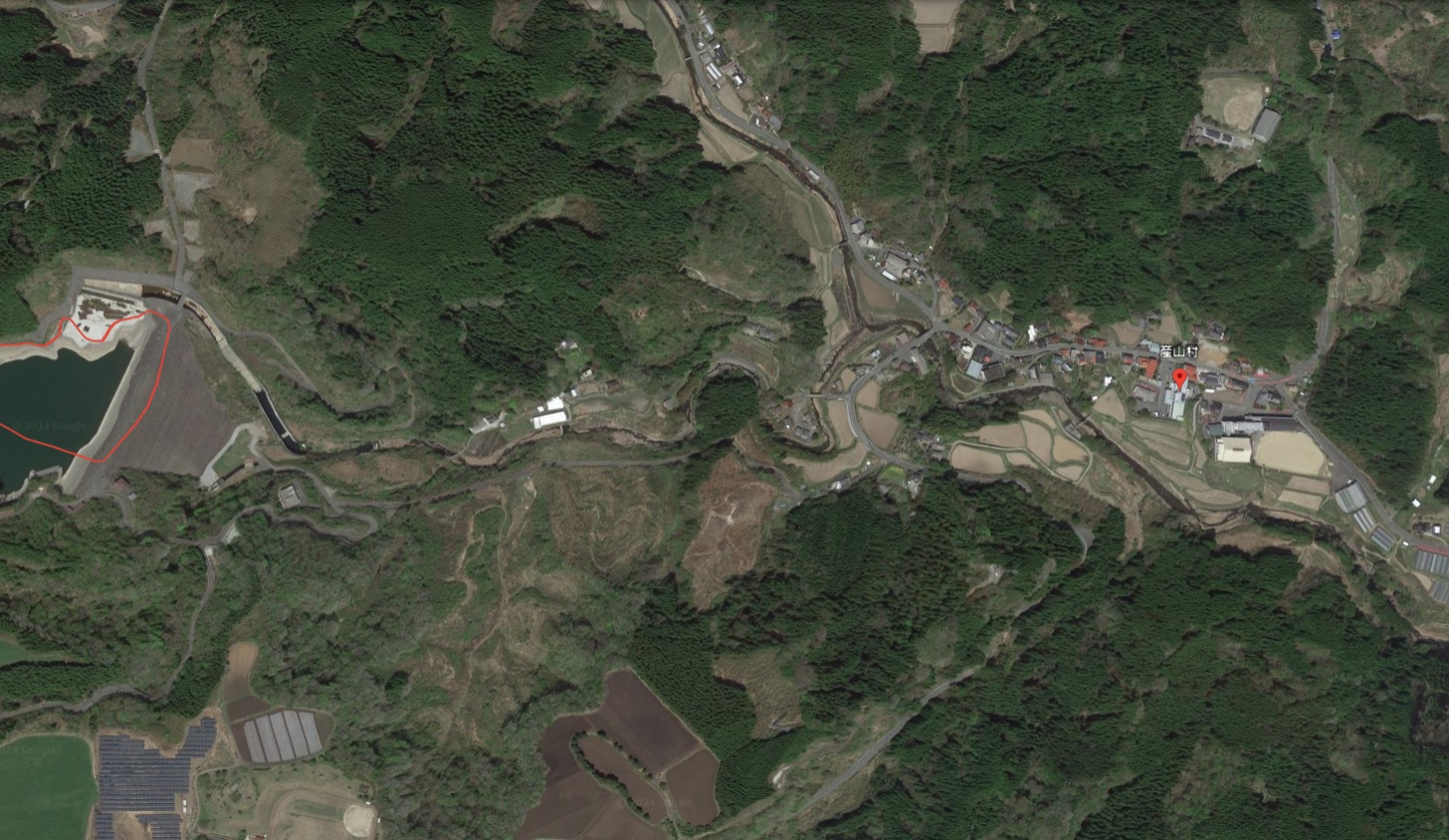
Google Earth 熊本県 阿蘇郡 産山村(2D)
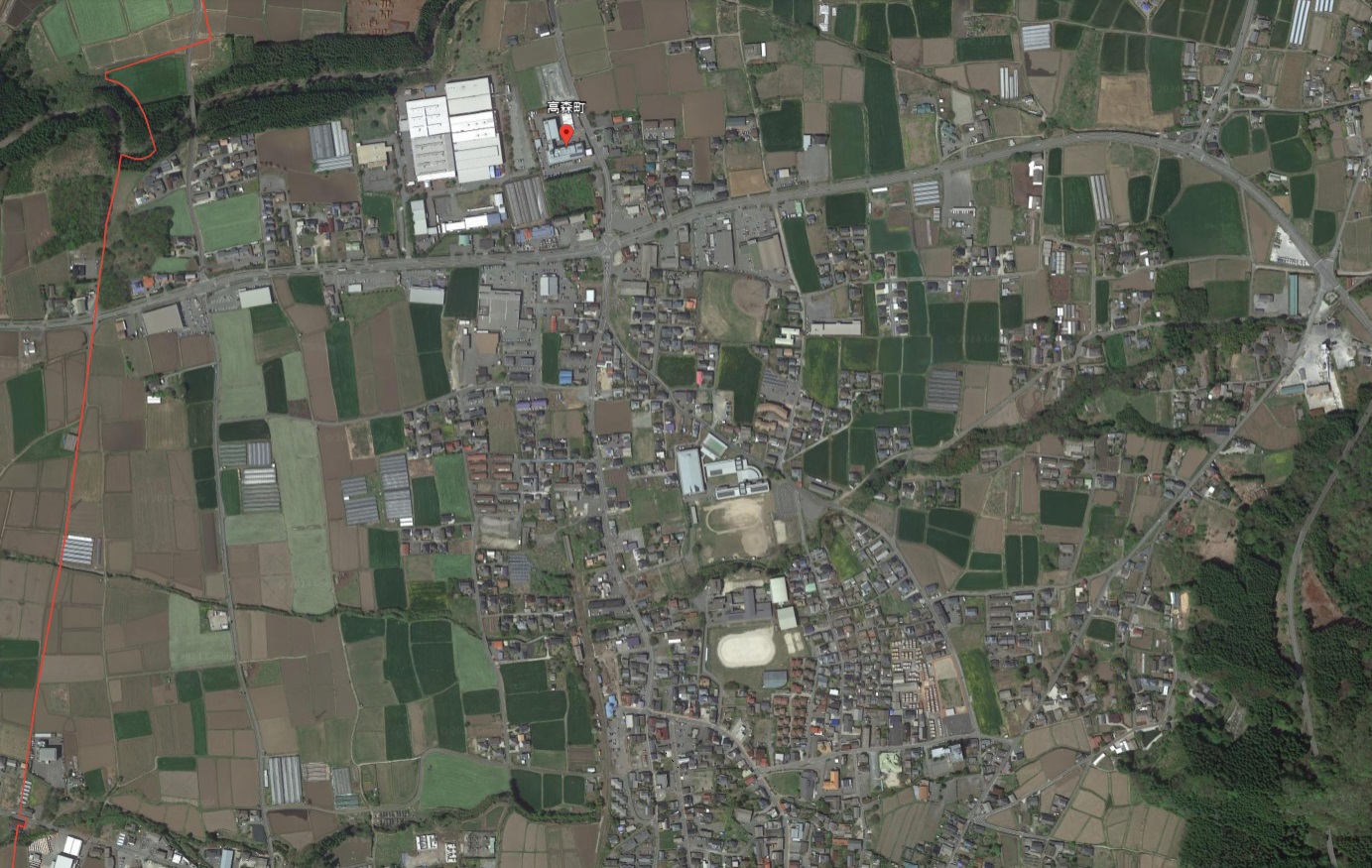
Google Earth 熊本県 阿蘇郡 高森町(2D)
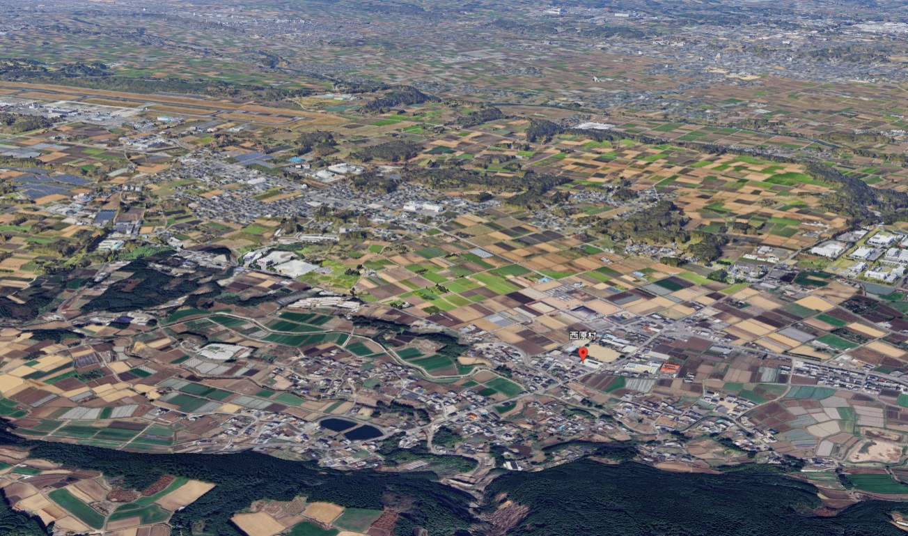
Google Earth 熊本県 阿蘇郡 西原村(2D+3D)
阿蘇郡西原村は熊本空港のある益城町と接していて熊本空港間近。そのため空港近くの村域は3D表示だが村役場付近3Dと2Dの境界があり2Dでの表示となってる。
Google Earth 熊本県 阿蘇郡 南阿曽村(2D)
ああ
Google Earth 熊本県(県央)の3D/2Dリスト
熊本市:1市
| 熊本市 | 3D | 736,951人 |
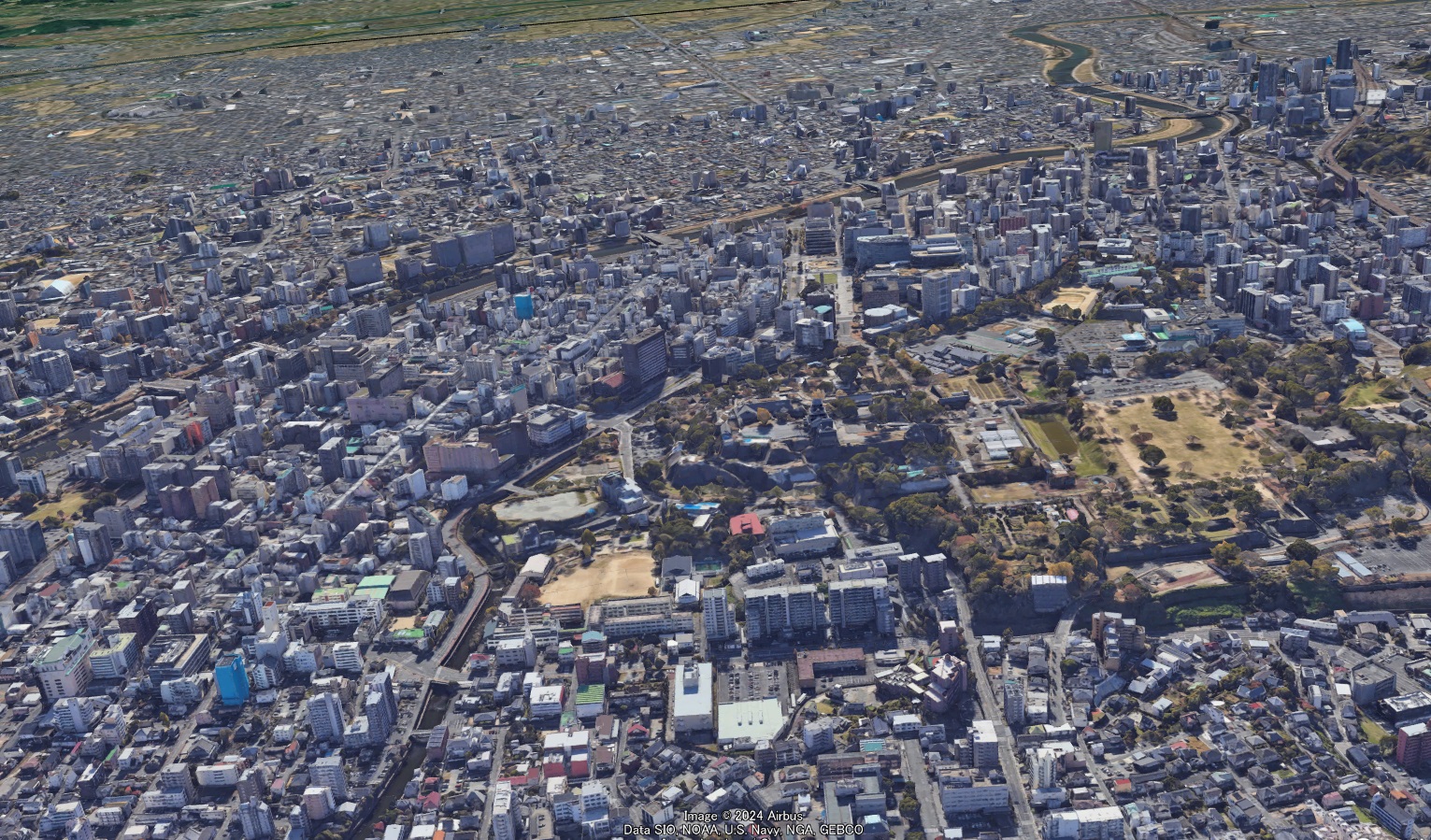
Google Earth 熊本県 熊本市
熊本城と熊本市街相互の眺望確保のために中心市街地では建物の高さ規制がある。地区によって海抜50~63m。
宇城地域:2市1郡1町
| 宇土市 | 2D | 35,443人 |
| 宇城市 | 2D | 55,252人 |
| 下益城郡 | ||
| 美里町 | 2D | 8,394人 |
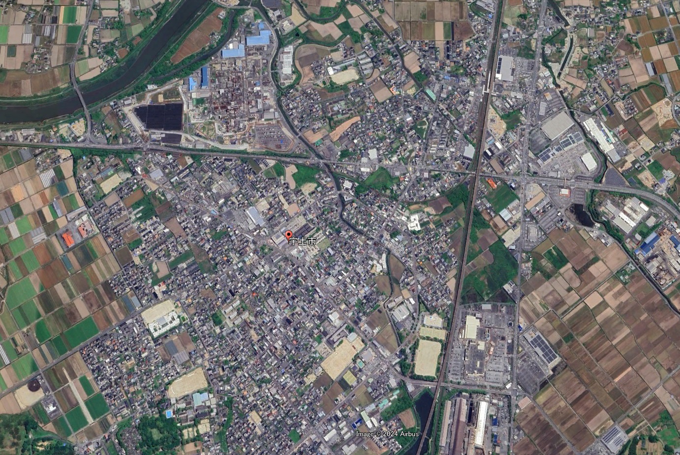
Google Earth 熊本県 宇土市(2D)
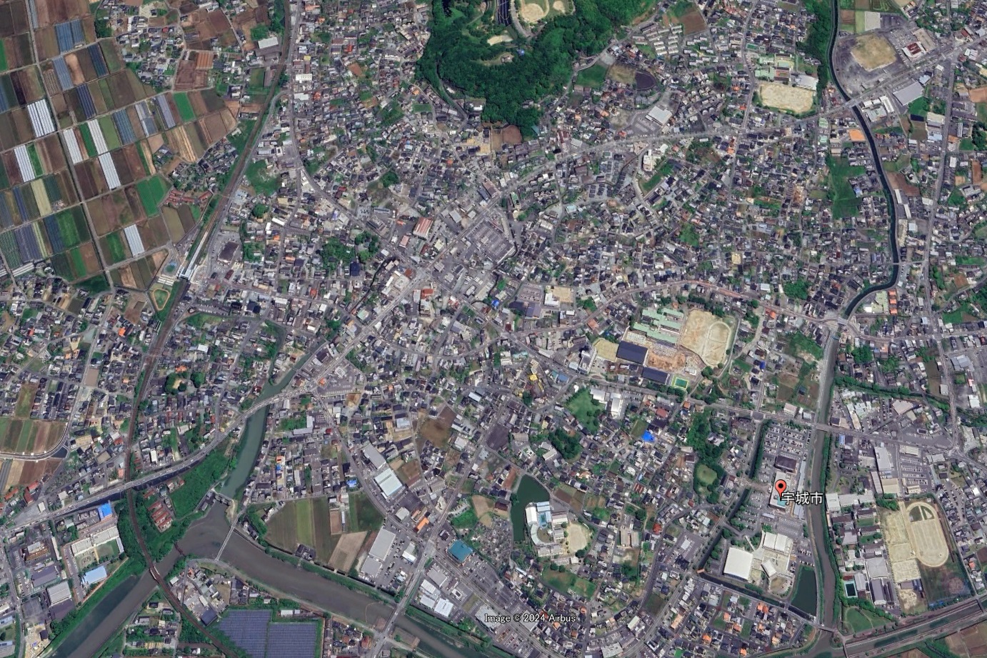
Google Earth 熊本県 宇城市(2D)
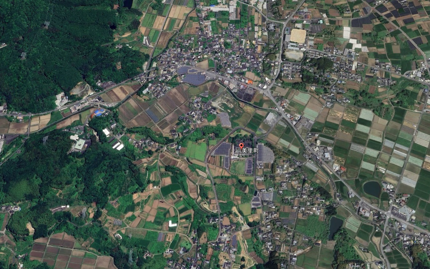
Google Earth 熊本県 下益城郡 美里町(2D)
上益城地域:1郡5町
| 上益城郡 | ||
| 御船町 | 2D | 16,659人 |
| 嘉島町 | 3D | 9,997人 |
| 益城町 | 3D | 33,193人 |
| 甲佐町 | 2D | 9,728人 |
| 山都町 | 2D | 12,147人 |
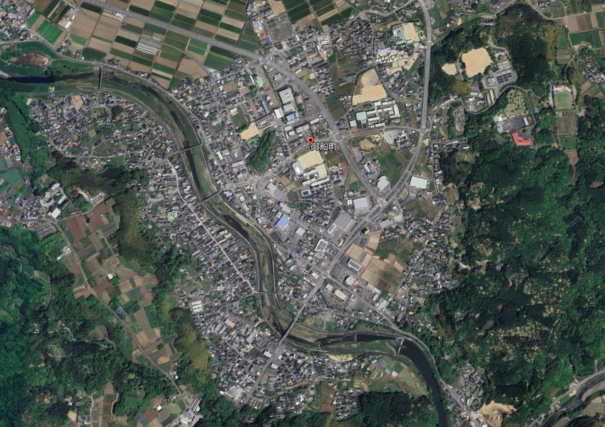
Google Earth 熊本県 上益城郡 御船町(2D)
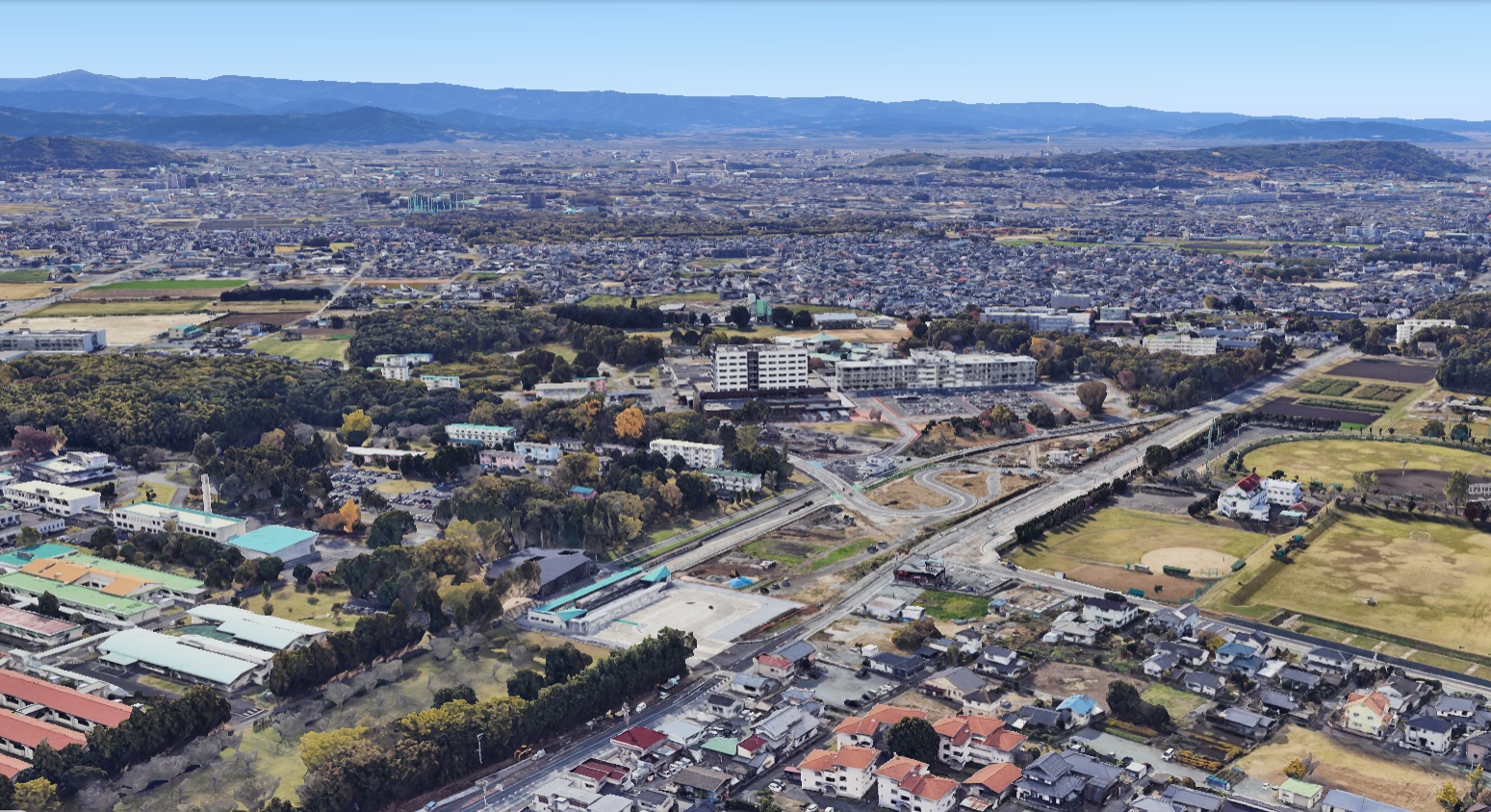
Google Earth 熊本県 上益城郡 嘉島町
熊本市と隣接の嘉島町。街中に3Dと2Dの境界線がある。中心市街地から離れた場所に立地する町役場は3D処理対象外のエリアにある。
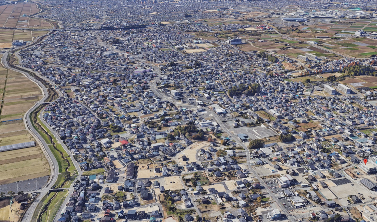
Google Earth 熊本県 上益城郡 益城町
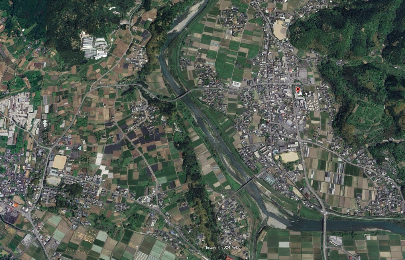
Google Earth 熊本県 上益城郡 甲佐町(2D)
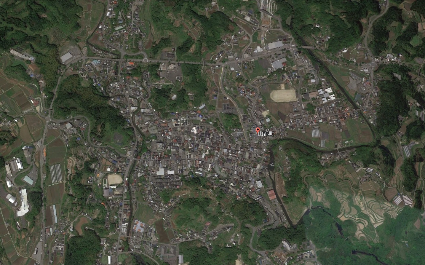
Google Earth 熊本県 上益城郡 山都町(2D)
Google Earth 熊本県(県南)の3D/2Dリスト
八代地域:1市1郡1町
| 八代市 | 3D | 118,250人 |
| 八代郡 | ||
| 氷川町 | 2D | 10,321人 |
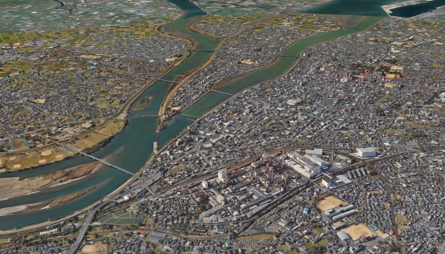
Google Earth 熊本県 八代市
なんと熊本県の市町村まとめ中に3D表示にアップグレードしていた八代市です。
熊本県第二の都市にも拘らずこれまで非対応。また九州の他都市(別府、都城、延岡)や山口県瀬戸内の都市が3Dとなる中で蚊帳の外でしたがついに八代市も仲間入り。
八代市周辺のみの対応で今後処理エリアが近隣の氷川町などへ広がるかどうか状況を追いかけてみたいと思います。
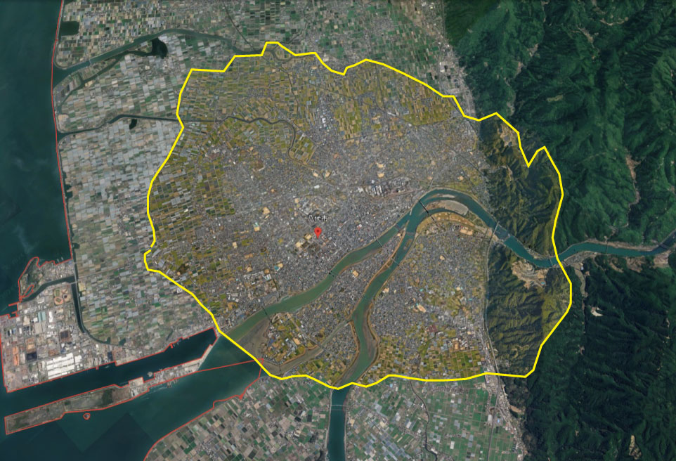
Google Earth 八代市 3Dエリア
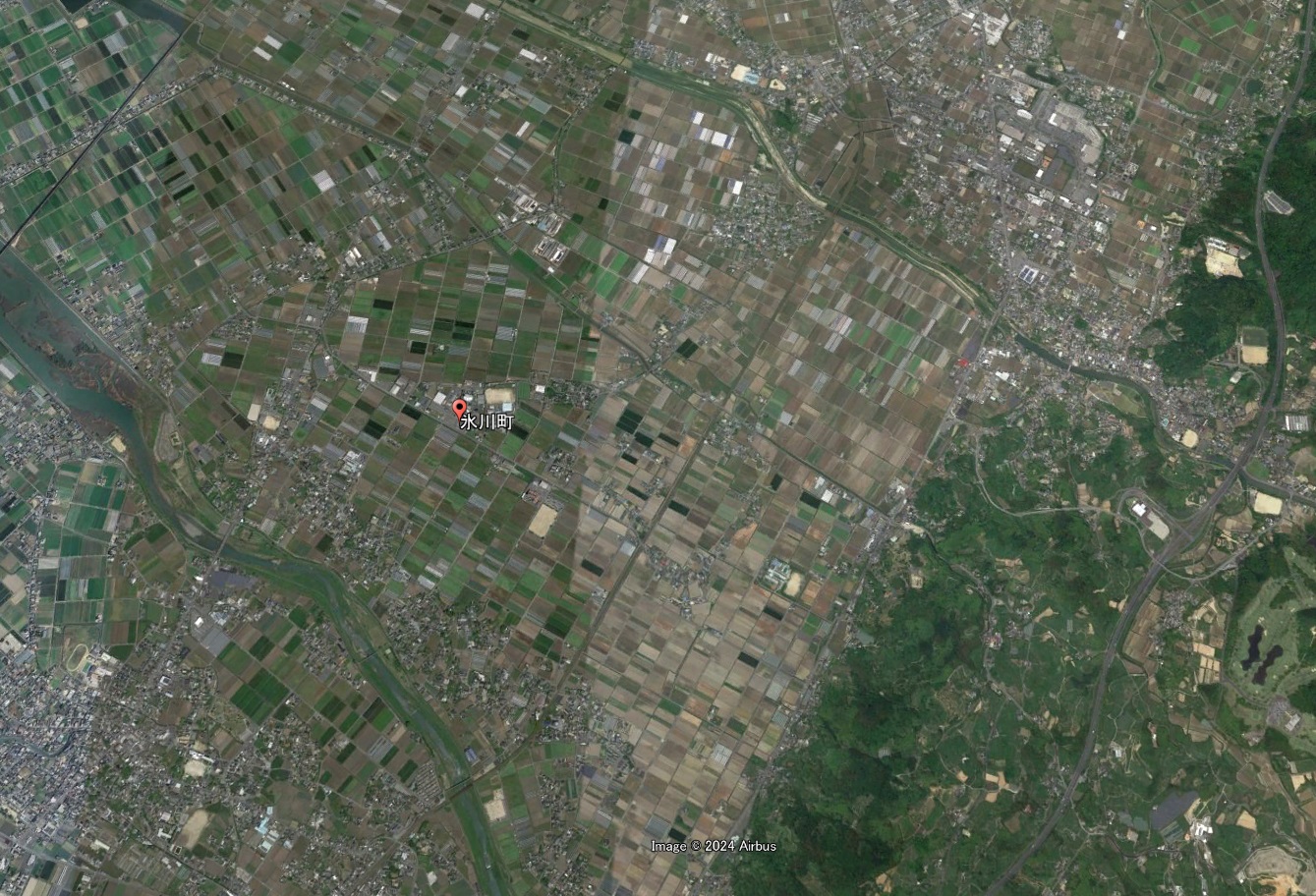
Google Earth 熊本県 八代郡 氷川町(2D)
芦北地域:1市1郡2町
| 水俣市 | 2D | 21,590人 |
| 葦北郡 | ||
| 芦北町 | 2D | 14,101人 |
| 津奈木町 | 3,964人 |
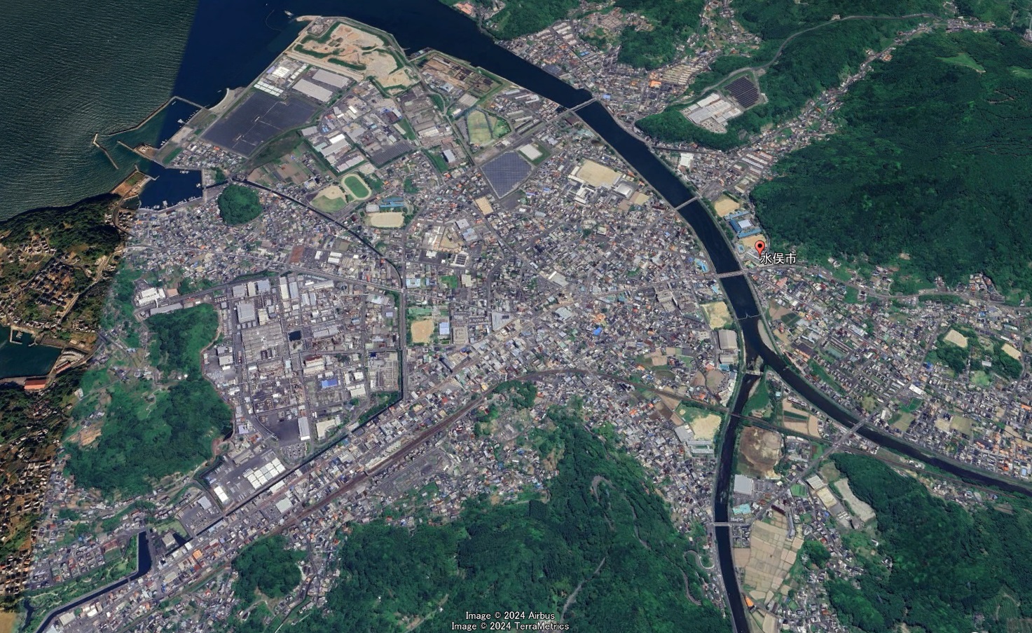
Google Earth 熊本県 水俣市(2D)
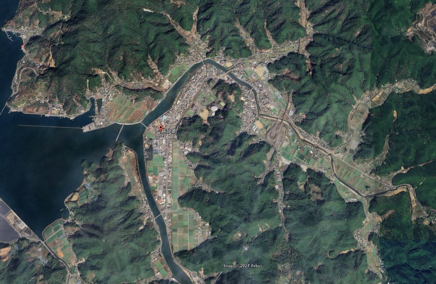
Google Earth 熊本県 葦北郡 芦北町(2D)
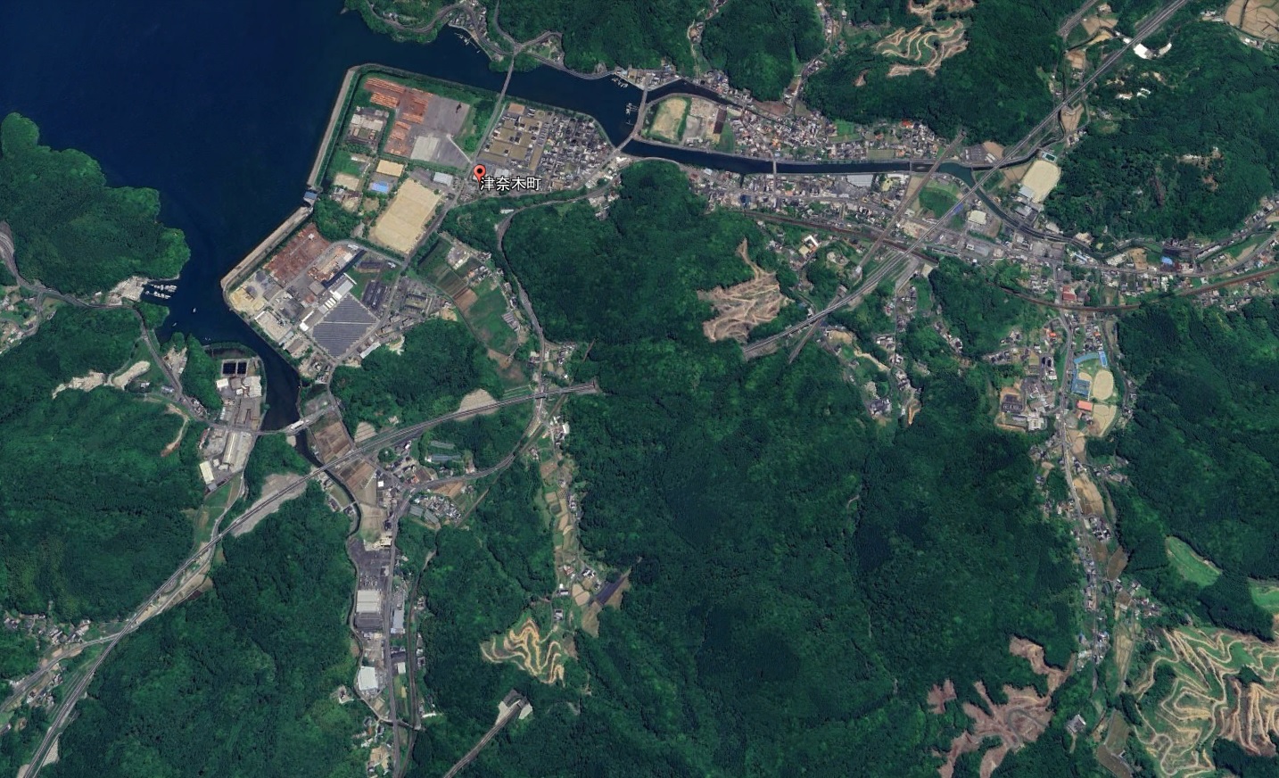
Google Earth 熊本県 葦北郡 津奈木町(2D)
球磨地域:1市1郡4町5村
| 人吉市 | 2D | 29,310人 |
| 球磨郡 | ||
| 錦町 | 2D | 9,849人 |
| 多良木町 | 2D | 8,245人 |
| 湯前町 | 2D | 3,345人 |
| 水上村 | 2D | 1,859人 |
| 相良村 | 2D | 3,786人 |
| 五木村 | 2D | 825人 |
| 山江村 | 2D | 2,997人 |
| 球磨村 | 2D | 1,748人 |
| あさぎり町 | 2D | 13,763人 |
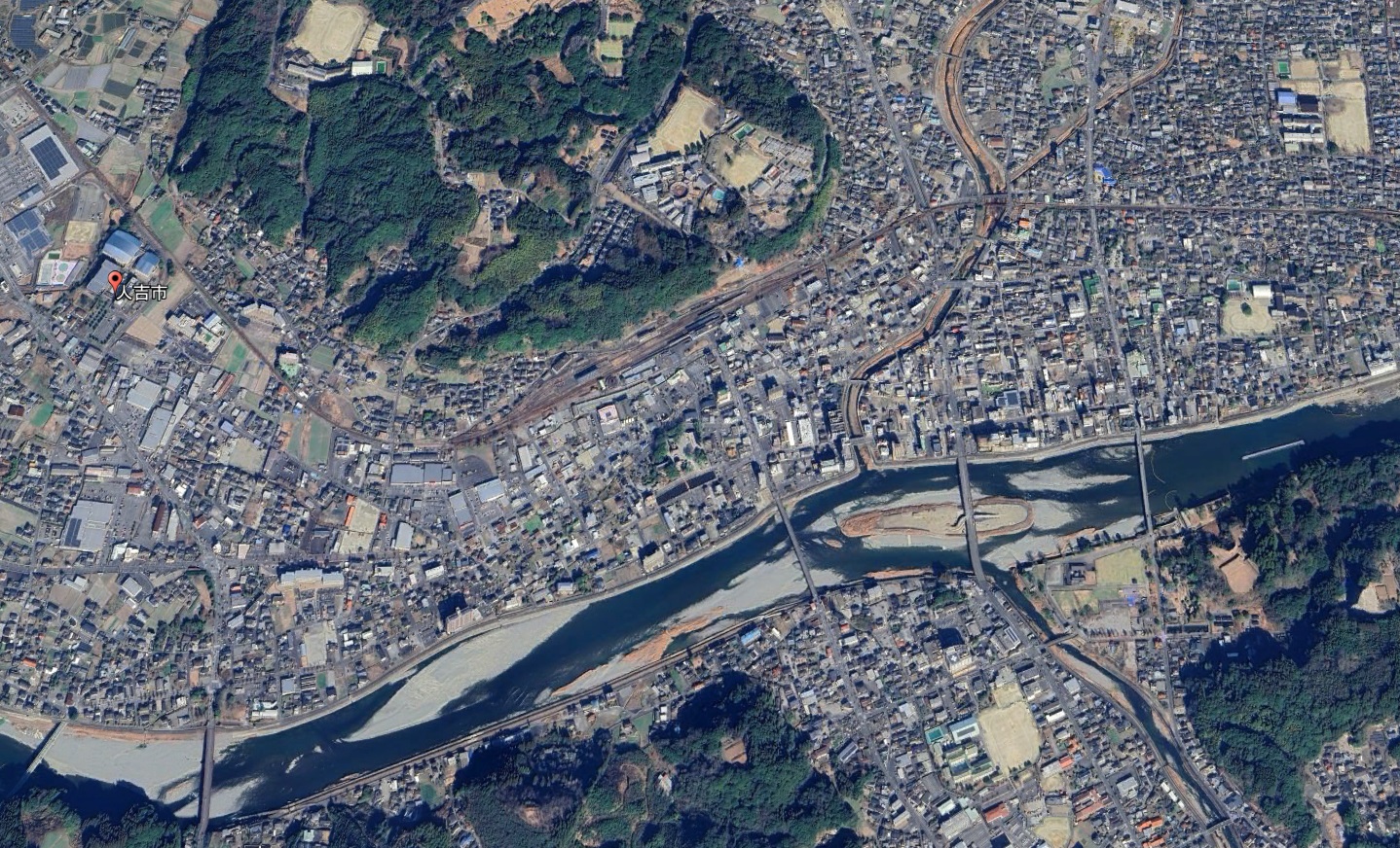
Google Earth 熊本県 人吉市(2D)
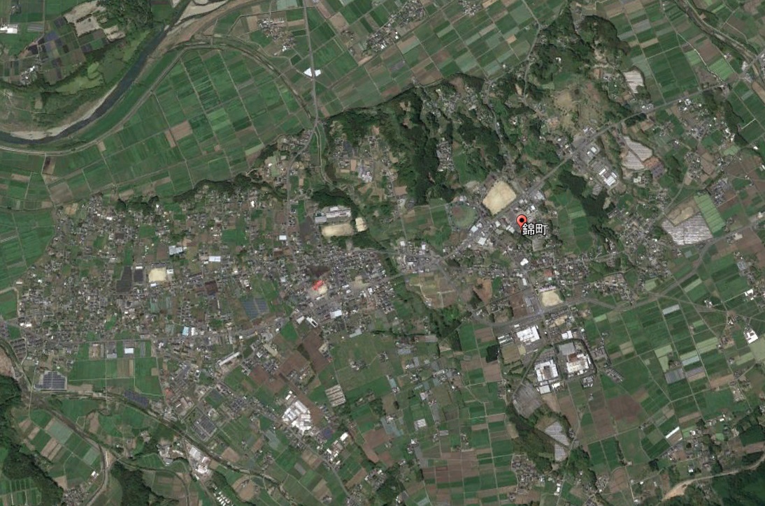
Google Earth 熊本県 球磨郡 錦町(2D)
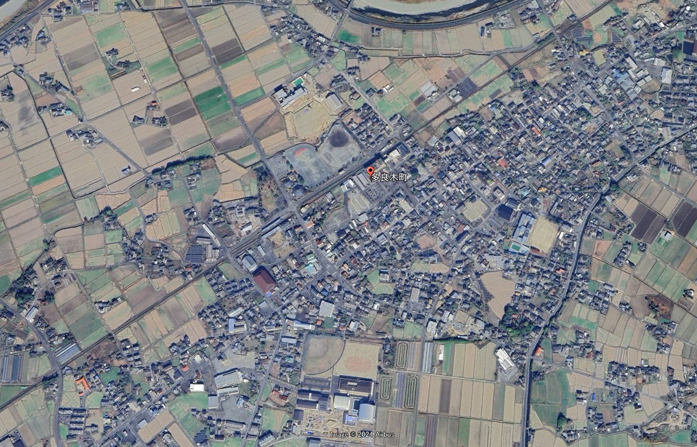
Google Earth 熊本県 球磨郡 多良木町(2D)
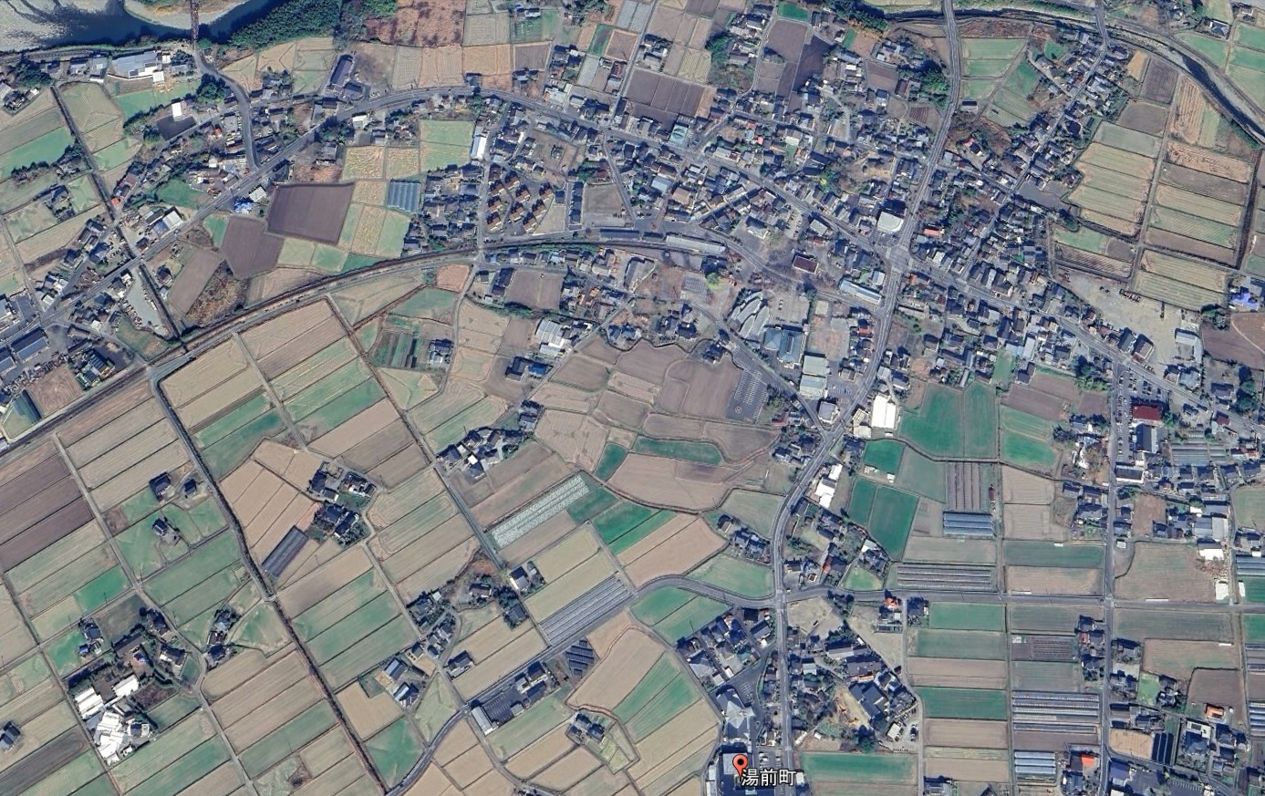
Google Earth 熊本県 球磨郡 湯前町(2D)
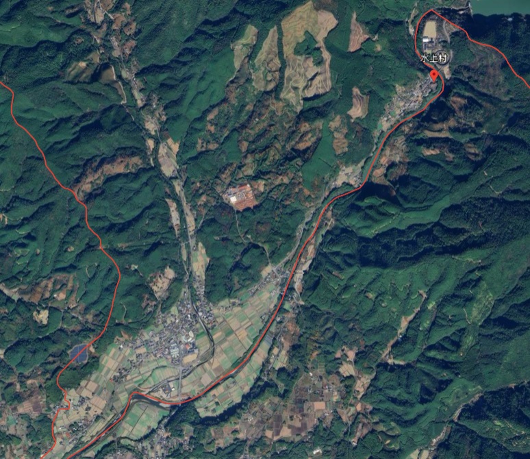
Google Earth 熊本県 球磨郡 水上村(2D)
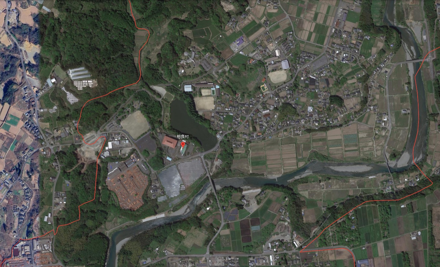
Google Earth 熊本県 球磨郡 相良村(2D)
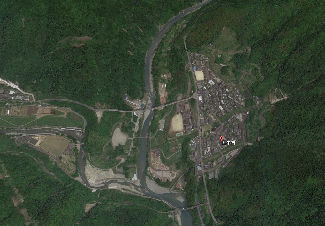
Google Earth 熊本県 球磨郡 五木村(2D)
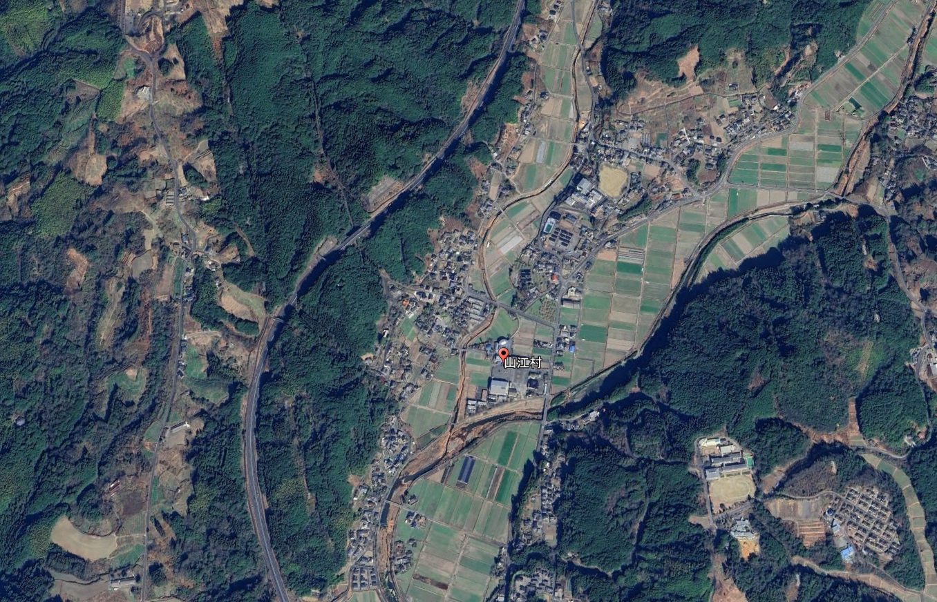
Google Earth 熊本県 球磨郡 山江村(2D)
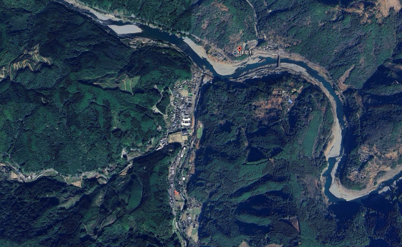
Google Earth 熊本県 球磨郡 球磨村(2D)
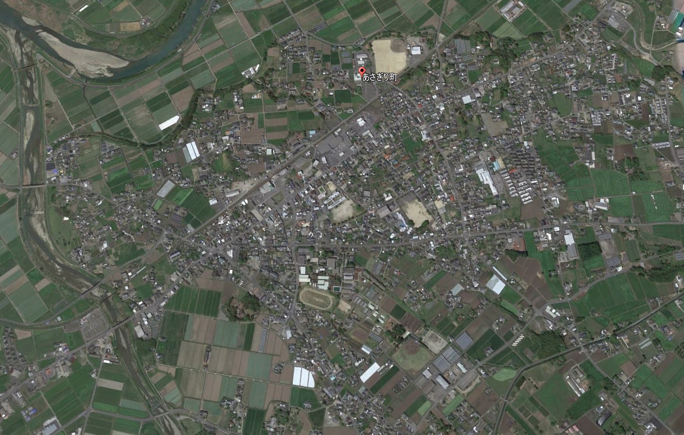
Google Earth 熊本県 球磨郡 あさぎり町(2D)
天草地域:2市1郡1町
| 上天草市 | 2D | 22,263人 |
| 天草市 | 2D | 69,915人 |
| 天草郡 | ||
| 苓北町 | 2D | 6,427人 |
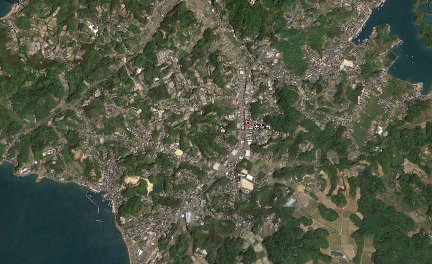
Google Earth 熊本県 上天草市(2D)
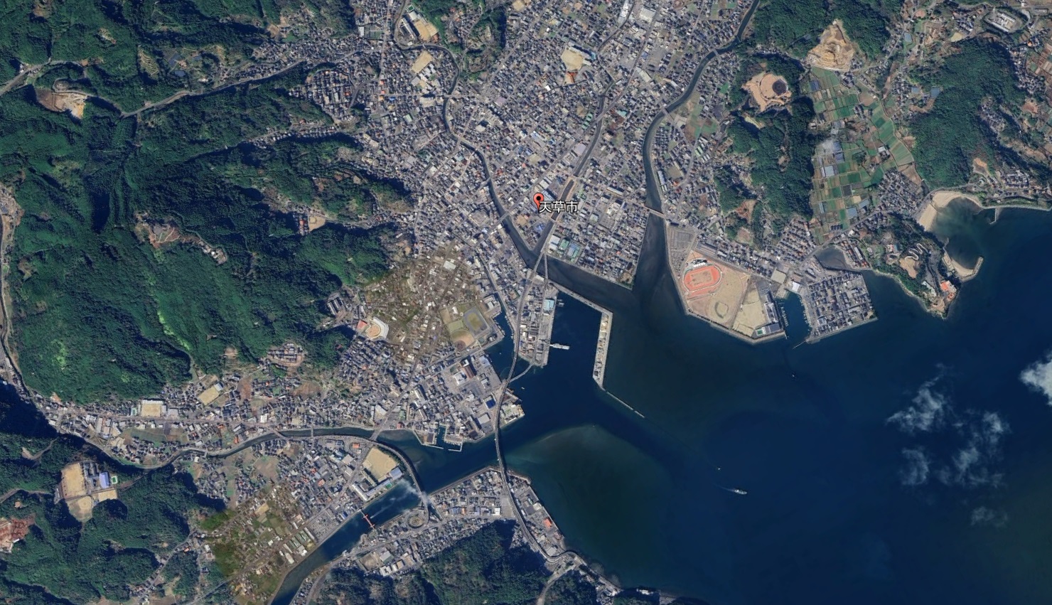
Google Earth 熊本県 天草市(2D)
Google Earth 熊本県 天草郡 苓北町(2D)
Google Earth 熊本県 3D/2Dリスト まとめ
熊本県内には14市9郡23町8村(計45市町村)があります。
そのうち、3D対応自治体は9市町、非対応(2D)は36市町村でした。
祝・八代市!の熊本県でした。
コメント