 Google Earth 3D/2Dリスト
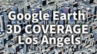
 ロサンゼルス(LA)3D表示エリア完全可視化|Google Earth 3D Coverage Map Los Angeles(LA)
Google Earthのロサンゼルス3D表示エリアを徹底解説。どこまで広がるのかを可視化し、都市・自然地形を含む広域カバレッジを紹介。KMZデータのダウンロードにも対応。Explore the full extent of Los Angeles 3D coverage in Google Earth. This guide visualizes the massive area beyond the metro region and provides downloadable KMZ data.